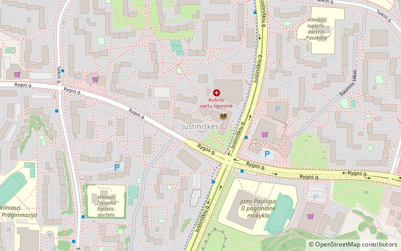
Justiniškės, Vilnius

Gallery (1)
Map
Map
Facts and practical information
Justiniškės, located in western edge of Vilnius, is one of the newest districts in the capital of Lithuania. It is also one of the 21 elderships of Vilnius city municipality. It was built mainly in the 1980s as a microdistrict. Almost all buildings are large Soviet-built residential apartment complexes. According to the Lithuanian census of 2011, it has a population of 27,462. ()
Address
JustiniškėsVilnius
ContactAdd
Social media
Add
Getting there by public transportation
Public transportation stops near this location
- Bus
- Trolleybus
 Bus
Bus
- Calculate routeJustiniškės 3 min walk
- Calculate routeTaikos st. 7 min walk
- Calculate routePumpėnų st. 9 min walk
- Calculate routeJustiniškės 3 min walk
- Calculate routeJustiniškės st. 3 min walk
- Calculate routeTaikos st. 7 min walk
- Calculate routeAtžalyno st. 7 min walk
Day trips


Frequently Asked Questions (FAQ)
How to get to Justiniškės by public transport?
The nearest stations to Justiniškės:
Trolleybus
Bus
Trolleybus
- Justiniškės • Lines: 13, 18, 7 (3 min walk)
- Taikos st. • Lines: 13, 18, 7 (7 min walk)
Bus
- Justiniškės • Lines: 43, 5G, 73 (3 min walk)
- Justiniškės st. • Lines: 43, 5G, 73, 75 (3 min walk)