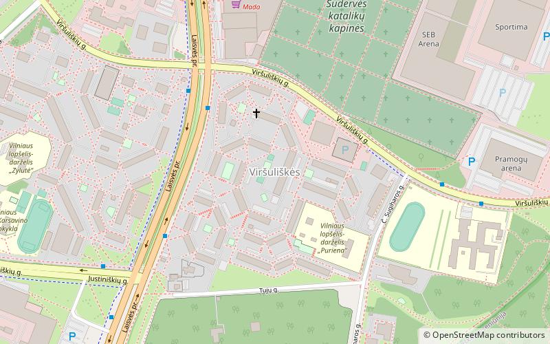
Viršuliškės, Vilnius

Gallery (1)
Map
Map
Facts and practical information
Viršuliškės is an eldership in the Vilnius city municipality, Lithuania. It occupies 2,6 km². According to the 2011 census, it has a population of 14,733. ()
Address
ViršuliškėsVilnius
ContactAdd
Social media
Add
Getting there by public transportation
Public transportation stops near this location
- Bus
- Trolleybus
 Bus
Bus
- Calculate routeViršuliškės 6 min walk
- Calculate routeSpaudos rūmai 7 min walk
- Calculate routeViršuliškės 5 min walk
- Calculate routeSpaudos rūmai 6 min walk
- Calculate routeČ. Sugiharos st. 6 min walk
- Calculate routeŠaulių sąjunga 8 min walk
Day trips


Frequently Asked Questions (FAQ)
How to get to Viršuliškės by public transport?
The nearest stations to Viršuliškės:
Trolleybus
Bus
Trolleybus
- Viršuliškės • Lines: 16, 19 (6 min walk)
- Spaudos rūmai • Lines: 13, 16, 18, 19, 7 (7 min walk)
Bus
- Viršuliškės • Lines: 100, 2G, 55, 7 (5 min walk)
- Spaudos rūmai • Lines: 100, 2G, 55, 7, 75 (6 min walk)