Mont St. Jean, Dudelange

Gallery (1)
Map
Map
Facts and practical information
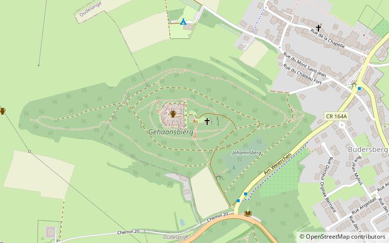
Mont St. Jean is a hill, castle, and religious site in the commune of Dudelange, in southern Luxembourg. The summit is at 417 metres. ()
Getting there by public transportation
Public transportation stops near this location
- Bus
- Train
 Bus
Bus
- Calculate routeDudelange, Scherr 5 min walk
- Calculate routeDudelange, Butschebuerg 9 min walk
- Calculate routeDudelange, Scherrwee 11 min walk
- Calculate routeDudelange, Angeldall 11 min walk
- Calculate routeDudelange-Ville 29 min walk
- Calculate routeBurange 30 min walk
- Calculate routeKayl 31 min walk
- Calculate routeDudelange-Centre 32 min walk
Day trips


Frequently Asked Questions (FAQ)
How to get to Mont St. Jean by public transport?
The nearest stations to Mont St. Jean:
Bus
Train
Bus
- Dudelange, Scherr • Lines: 5 (5 min walk)
- Dudelange, Butschebuerg • Lines: 201, 5, NLB Dudelange (9 min walk)
Train
- Dudelange-Ville (29 min walk)
- Burange (30 min walk)