Dudelange Castle, Dudelange
Map
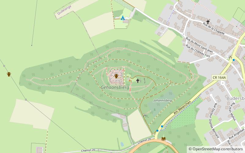
Map

Facts and practical information
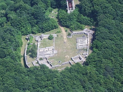
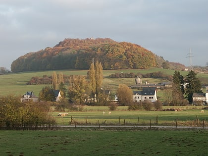
The ruins of Dudelange Castle are located on Mont St Jean, a forested hill to the west of Dudelange in the south of Luxembourg. The castle was completed in the early 16th century but was destroyed in 1552. ()
Coordinates: 49°29'26"N, 6°3'37"E
Address
Dudelange
ContactAdd
Social media
Add
Day trips
Dudelange Castle – popular in the area (distance from the attraction)
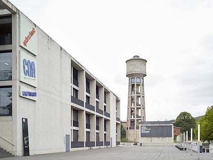
Nearby attractions include: Tétange, Mont St. Jean, Kayl, Centre national de l'audiovisuel.
Frequently Asked Questions (FAQ)
Which popular attractions are close to Dudelange Castle?
Nearby attractions include Mont St. Jean, Dudelange (1 min walk), Kayl, Dudelange (24 min walk).
How to get to Dudelange Castle by public transport?
The nearest stations to Dudelange Castle:
Bus
Train
Bus
- Dudelange, Scherr • Lines: 5 (6 min walk)
- Dudelange, Butschebuerg • Lines: 201, 5, NLB Dudelange (9 min walk)
Train
- Dudelange-Ville (29 min walk)
- Burange (30 min walk)
