Liberty Road, Luxembourg
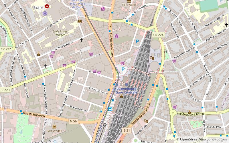
Map
Gallery
Facts and practical information
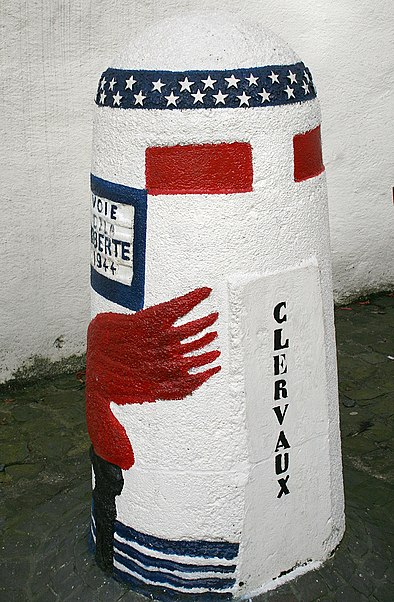
Liberty Road is the commemorative way marking the route of the Allied forces from D-Day in June 1944. It starts in Sainte-Marie-du-Mont, in the Manche département in Normandy, France, travels across Northern France to Metz and then northwards to end in Bastogne in Belgium, on the border of Luxembourg. At each of the 1,146 kilometres, there is a stone marker or 'Borne'. The first lies outside the town hall in Sainte-Mère-Église. ()
Address
Gare de LuxembourgLuxembourg
ContactAdd
Social media
Add
Day trips
Liberty Road – popular in the area (distance from the attraction)
Nearby attractions include: Gëlle Fra, Notre-Dame Cathedral, Adolphe Bridge, Casino Luxembourg.
Frequently Asked Questions (FAQ)
Which popular attractions are close to Liberty Road?
Nearby attractions include Avenue de la Liberté, Luxembourg (7 min walk), Paroisse du Sacre-Coeur, Luxembourg (8 min walk), Passerelle, Luxembourg (8 min walk), Gare, Luxembourg (9 min walk).
How to get to Liberty Road by public transport?
The nearest stations to Liberty Road:
Tram
Train
Bus
Tram
- Luxembourg, Gare Centrale • Lines: T1 (2 min walk)
Train
- Luxembourg Central Station (2 min walk)
- Hollerich (17 min walk)
Bus
- Luxembourg, Gare Centrale • Lines: 10, 13, 14, 175, 176, 18, 19, 20, 210, 23, 27, 28, 29, 319, 4, 7, 950, 955, 970, Cn1, Cn3, L40, NLB Dudelange, NLB Schengen, NLB Walfer-Steinsel-Lorentzweiler (3 min walk)
- Luxembourg, Gare Rocade • Lines: 150, 197, 298, 323 (4 min walk)


