Photothèque, Luxembourg

Gallery (1)
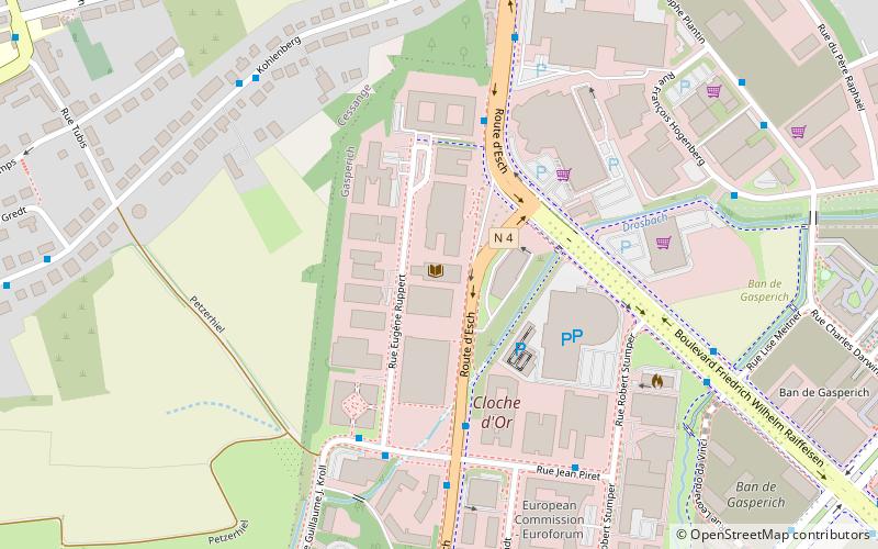
Map
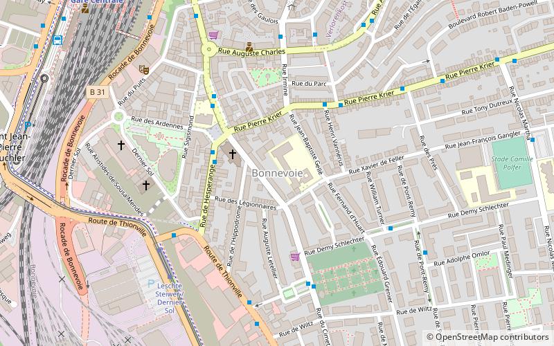
Map
Facts and practical information
The Photothèque in Luxembourg City in the Grand Duchy of Luxembourg houses several large collections of photographs of the city taken between 1855 and today. Open to the public, it is modelled on the photothèque at the Centre Georges Pompidou in Paris and has adopted the same classification system. ()
Getting there by public transportation
Public transportation stops near this location
- Bus
- Tram
- Train
 Bus
Bus
- Calculate routeGasperich, Cloche d'Or 4 min walk
- Calculate routeGasperich, Ruppert 5 min walk
- Calculate routeGasperich, Stengege Wee 5 min walk
- Calculate routeGasperich, Jean Piret 6 min walk
- Calculate routeHollerich 19 min walk
- Calculate routeHowald 22 min walk
- Calculate routeLuxembourg Central Station 34 min walk
- Calculate routeLuxembourg, Gare Centrale 33 min walk
Day trips


Frequently Asked Questions (FAQ)
Which popular attractions are close to Photothèque?
Nearby attractions include Gasperich, Luxembourg (12 min walk), Mémorial de la déportation, Luxembourg (19 min walk), Cessange, Luxembourg (22 min walk).
How to get to Photothèque by public transport?
The nearest stations to Photothèque:
Bus
Train
Tram
Bus
- Gasperich, Cloche d'Or • Lines: 117, 155, 18, 200, 202, 203, 205, 212, 223, 226, 301, 319, 321, 325, 611 (4 min walk)
- Gasperich, Ruppert • Lines: 20, 29 (5 min walk)
Train
- Hollerich (19 min walk)
- Howald (22 min walk)
Tram
- Luxembourg, Gare Centrale • Lines: T1 (33 min walk)