Boulevard Royal, Luxembourg
Map
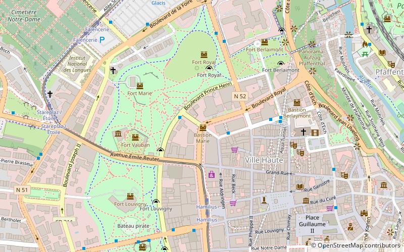
Map

Facts and practical information
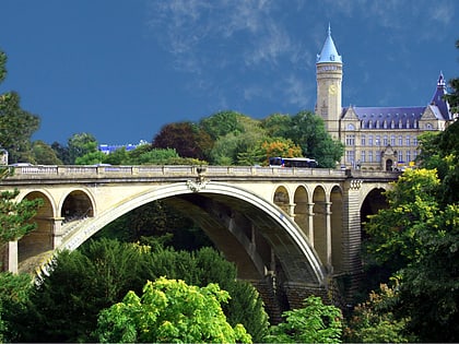
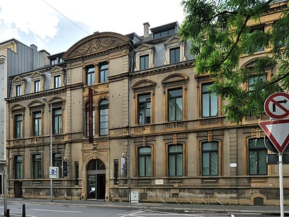
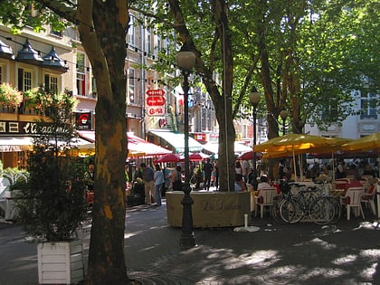
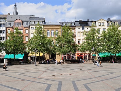
Boulevard Royal is a street in Luxembourg City, in southern Luxembourg. The boulevard is a one-way arterial road that runs around the northern and western parts of the city centre, Ville Haute. Besides its importance as one of Luxembourg City's primary arteries, it is also the home of much of Luxembourg's large financial services industry, including the Banque Centrale du Luxembourg. ()
Address
Ville-HauteLuxembourg
ContactAdd
Social media
Add
Day trips
Boulevard Royal – popular in the area (distance from the attraction)
Nearby attractions include: Grand Ducal Palace, Gëlle Fra, Stade Josy Barthel, Notre-Dame Cathedral.
Frequently Asked Questions (FAQ)
Which popular attractions are close to Boulevard Royal?
Nearby attractions include Municipal Park, Luxembourg (3 min walk), Galerie Miltgen, Luxembourg (3 min walk), Luxembourg Stock Exchange, Luxembourg (3 min walk), Ville Haute, Luxembourg (4 min walk).
How to get to Boulevard Royal by public transport?
The nearest stations to Boulevard Royal:
Bus
Tram
Train
Bus
- Luxembourg, Amélie • Lines: 12, 151, Cn5, Cn7, NLB Betzdorf, NLB Biwer-Manternach, NLB Contern, NLB Flaxweiler, NLB Grevenmacher, NLB Niederanven, NLB Remich, NLB Schengen, NLB Schuttrange, NLB Walfer-Steinsel-Lorentzweiler, NLB Wormeldange (2 min walk)
- Centre, Forum Royal • Lines: Csb (2 min walk)
Tram
- Luxembourg, Hamilius • Lines: T1 (4 min walk)
- Centre, Stäreplaz / Étoile • Lines: T1 (8 min walk)
Train
- Pfaffenthal-Kirchberg (13 min walk)
- Rout Bréck-Pafendall (16 min walk)


