Madagascar subhumid forests, Antananarivo
Map
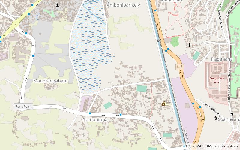
Map

Facts and practical information
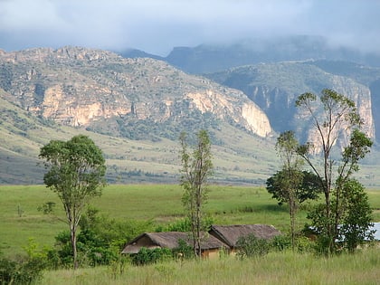
The Madagascar subhumid forests are a tropical moist broadleaf forest ecoregion that covers most of the Central Highlands of the island of Madagascar. They are included in the WWF's Global 200 list of outstanding ecoregions. Most of the original habitats have been lost due to human pressure. ()
Address
Antananarivo
ContactAdd
Social media
Add
Day trips
Madagascar subhumid forests – popular in the area (distance from the attraction)
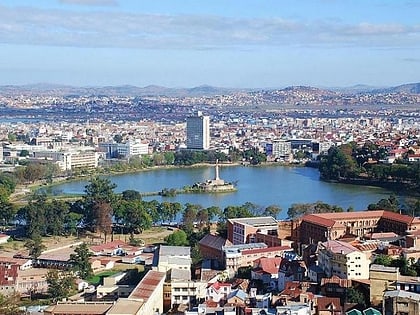
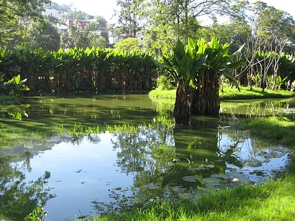
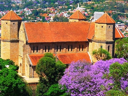
Nearby attractions include: Lake Anosy, Tsimbazaza, St. Lawrence Anglican Cathedral Ambohimanoro, Andafiavaratra Palace.
Frequently Asked Questions (FAQ)
How to get to Madagascar subhumid forests by public transport?
The nearest stations to Madagascar subhumid forests:
Bus
Train
Bus
- Colis Namontana • Lines: 187 -67Ha (5 min walk)
- Tsenan'ny Namontana • Lines: 187 -67Ha (6 min walk)
Train
- Gare Soanierana (16 min walk)
