Chiradzulu Mountain
Map

Map

Facts and practical information
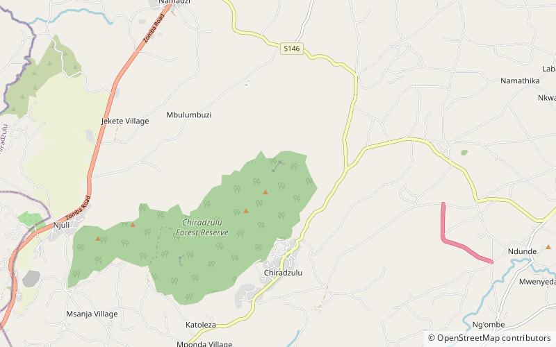
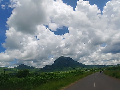
Chiradzulu Mountain is located in the Shire Highlands of Malawi, approximately 20 km to the north-east of Blantyre, Malawi's main commercial centre. The administrative district of Chiradzulu in southern Malawi was named after this mountain. Chiradzulu Mountain rises to a peak of 1,773m above sea level and is the third highest mountain peak in southern Malawi, after Mulanje Mountain, whose famous Sapitwa peak rises to 3,002m above sea level, and Zomba Mountain, which rises to 2,085m above sea level at its peak. ()
Elevation: 5817 ftCoordinates: 15°40'52"S, 35°10'52"E
Location
Chiradzulu
ContactAdd
Social media
Add
Day trips
Chiradzulu Mountain – popular in the area (distance from the attraction)
Nearby attractions include: Chiradzulu District.

