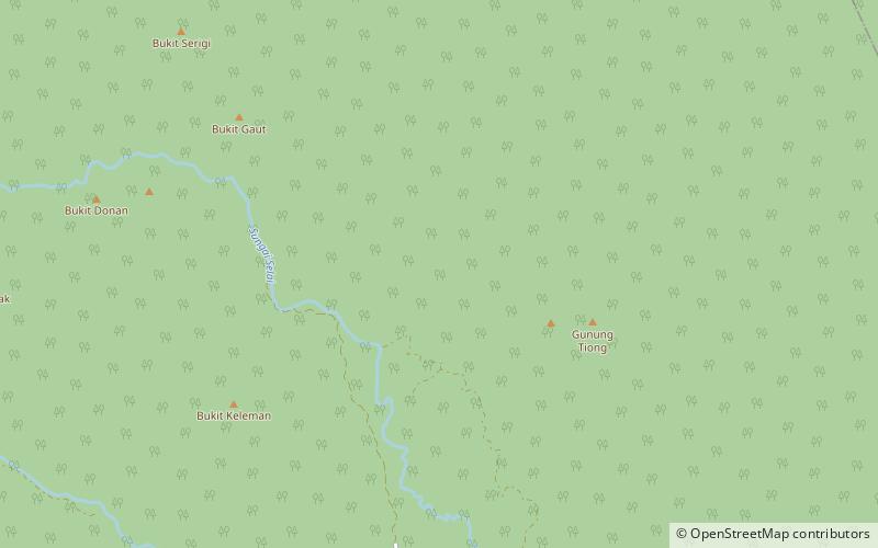
Endau-Rompin National Park, Endau Rompin National Park
Map

Map

Facts and practical information
Endau-Rompin National Park is a protected tropical rainforest in the southernmost prolongation of the Tenasserim Hills, Malaysia. It is south of the state of Pahang and northeast of Johor covering an area of approximately 870 km2, making it the second-largest national park in Peninsular Malaysia after Taman Negara. It has approximately 26 km of trail. It is the second national park proclaimed by the government of Malaysia. Gunung Besar, the second-highest peak in Johor, is in the park. ()
Alternative names: Established: 1993 (33 years ago)Elevation: 1106 ft a.s.l.Coordinates: 2°26'18"N, 103°16'12"E
Address
Endau Rompin National Park
ContactAdd
Social media
Add
