Pulau Tiga National Park
Facts and practical information
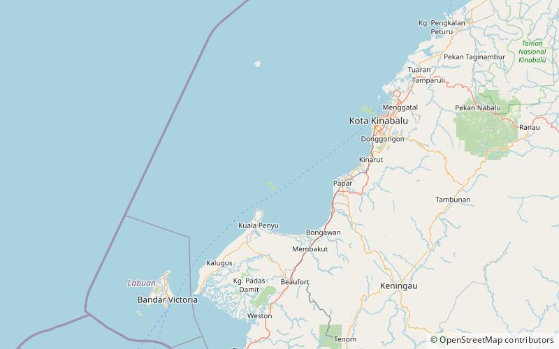
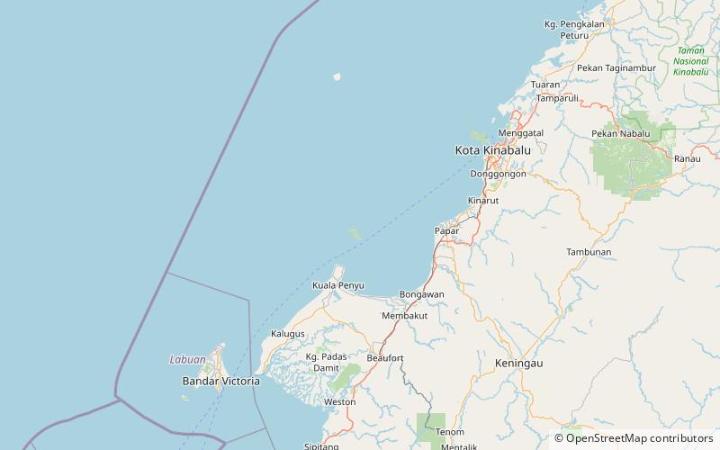
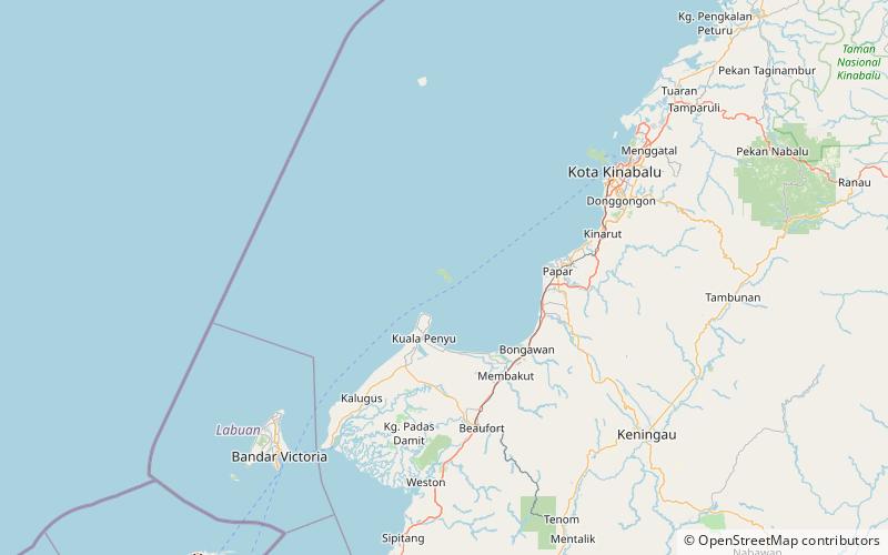
Pulau Tiga National Park, located in the Sabah region of Malaysia, is a tropical paradise waiting to be explored. The park is made up of three main islands, Pulau Tiga, Kalampunian Besar and Kalampunian Damit, as well as several smaller uninhabited islands. The crystal-clear waters surrounding the islands are home to a diverse range of marine life, making it a popular spot for snorkeling and diving enthusiasts.
One of the main attractions of Pulau Tiga National Park is its famous mud volcanoes, which are unique geological formations created by the eruption of natural gases. Visitors can take a guided tour to the mud volcanoes, where they can witness the bubbling mud and experience the therapeutic benefits of a mud bath.
For nature lovers, the park offers a range of hiking trails that lead through lush rainforests and past picturesque waterfalls. The islands are also home to a variety of bird species, making it a great destination for birdwatching enthusiasts.
Accommodation options in Pulau Tiga National Park range from basic camping facilities to luxury eco-resorts, allowing visitors to immerse themselves in the natural beauty of the islands while enjoying modern comforts.
In addition to its natural beauty, Pulau Tiga National Park is also known for its role as the filming location for the first season of the reality TV show Survivor. Fans of the show can visit the iconic Survivor Island and relive some of the most memorable moments from the series.
Sabah