Kalampunian Besar Island, Tiga Island

Map
Facts and practical information
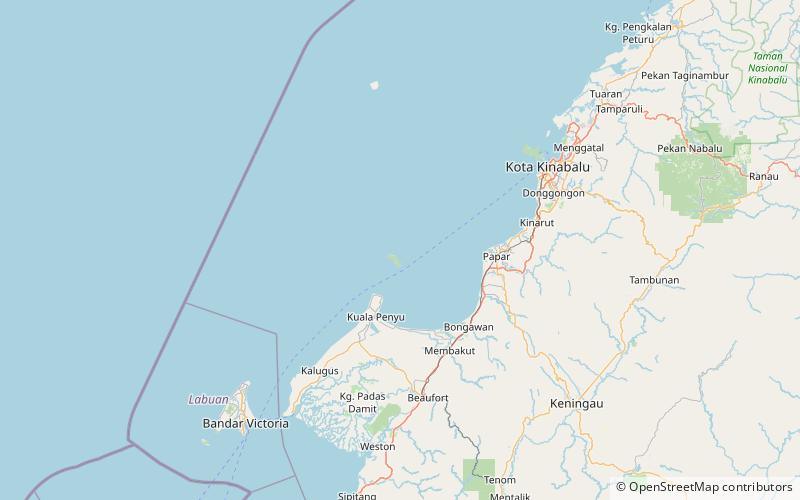
Kalampunian Besar Island is an island located in the West Coast of Sabah, Malaysia. This island is one of the Tiga Island National Park, along with the Kalampunian Damit Island and Tiga Island. ()
Coordinates: 5°45'0"N, 115°39'60"E
Address
Tiga Island
ContactAdd
Social media
Add
Day trips
Kalampunian Besar Island – popular in the area (distance from the attraction)
Nearby attractions include: Kalampunian Damit Island, Pulau Tiga National Park.

