Hulu Langat District, Kajang

Map
Facts and practical information
Hulu Langat District is a district located in the southeastern corner of Selangor, between Kuala Lumpur and Negeri Sembilan. It is bordered by the state of Pahang to the east and north, Gombak district to the north-west, Federal Territory of Kuala Lumpur and Petaling district to the west, Sepang district to the south-west, and state of Negeri Sembilan to the south. ()
Address
Kajang
ContactAdd
Social media
Add
Day trips
Hulu Langat District – popular in the area (distance from the attraction)
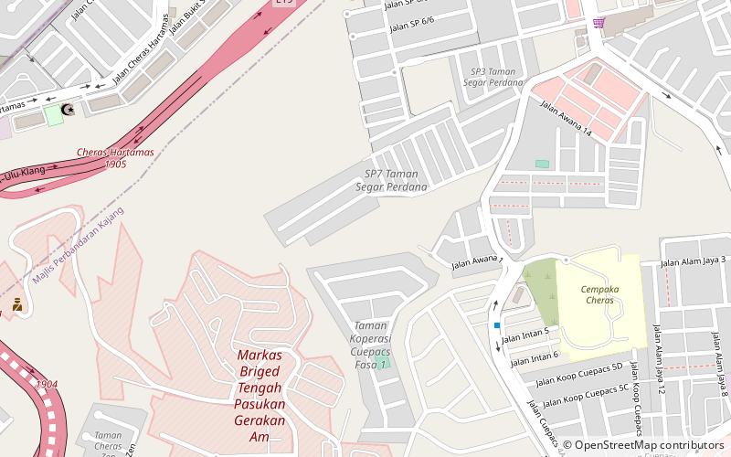
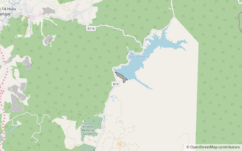
Nearby attractions include: Cheras, Semenyih Dam.

