Manantali Dam

Map
Facts and practical information
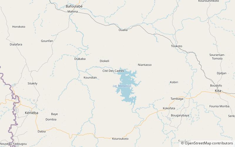
The Manantali Dam is a multi-purpose dam on the Bafing river in the Senegal River basin, 90 kilometres to the south-east of Bafoulabé, in Mali's Kayes Region. ()
Local name: Barrage hydroélectrique de Manantali Opened: 1988 (38 years ago)Length: 4790 ftHeight: 213 ftReservoir area: 184.17 mi²Coordinates: 13°11'50"N, 10°25'48"W
Location
Kayes
ContactAdd
Social media
Add