
Mali Travel Guide
| Due to the unstable situation and very high level of general risk, traveling to Mali may be dangerous. Read more |
Did you know?
The population of Mali is around 20.25 mil., which puts the country in 60. place in terms of population (out of 231 countries and dependent territories).
How far is it?
1. The site uses the Great Circle method of calculating distances between two points on the Earth
2. To change the cities for comparison, change Your Country in settings
The distance between Bamako (ML) and Washington D.C. (US) is 4549 miles
To calculate distance between your location and Bamako click here
Country Comparison
Compare Mali to any country in the world and see key differences between them side-by-side.
Get ready for your next trip
With just a few clicks you can find the best accommodation, airline tickets, or buy insurance that provides comprehensive protection for your next journey.
Cities and Top Tourist Attractions
From historical cities to picturesque landmarks and fascinating places - don't miss out on these attractions when planning a visit to Mali
| Miles | Bamako | Timbuktu | Kayes | Ségou | Mopti | Sikasso | Bandiagara | Bandiagara Escarpment |
| Bamako | - | 439 | 263 | 129 | 287 | 182 | 317 | 322 |
| Timbuktu | 439 | - | 584 | 317 | 176 | 417 | 172 | 179 |
| Kayes | 263 | 584 | - | 354 | 485 | 445 | 523 | 532 |
| Ségou | 129 | 317 | 354 | - | 157 | 152 | 189 | 194 |
| Mopti | 287 | 176 | 485 | 157 | - | 241 | 39 | 50 |
| Sikasso | 182 | 417 | 445 | 152 | 241 | - | 251 | 249 |
| Bandiagara | 317 | 172 | 523 | 189 | 39 | 251 | - | 12 |
| Bandiagara Escarpment | 322 | 179 | 532 | 194 | 50 | 249 | 12 | - |
Best Ways to Experience Mali
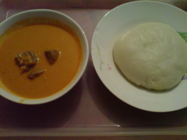
- Cuisine
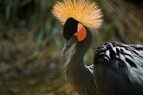
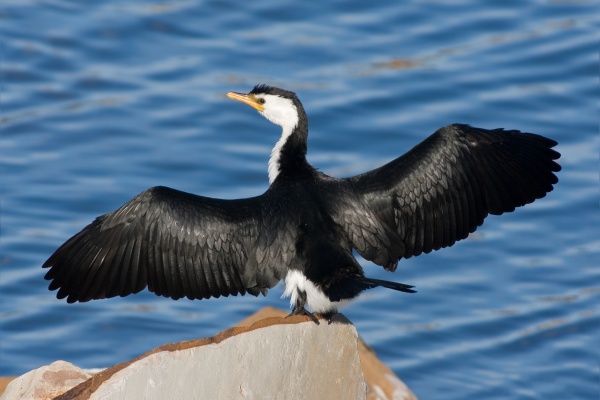
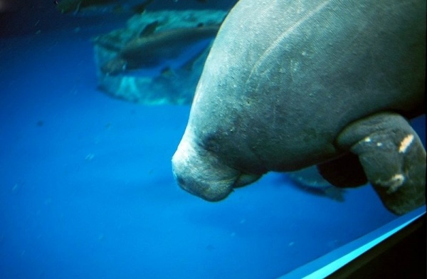
- Animals
Facts and Figures
Fundamental socio-economic statistical data pertaining to the country
Population | 60 / 231 Ranking | 20 250 833 Mande 50% (Bambara, Malinke, Soninke), Peul 17%, Voltaic 12%, Songhai 6%, Tuareg and Moor 10% |
Area | 25 / 230 Ranking | 478.8 thous. mi² It is approximately 13% of the territory of United States. |
Life expectancy | 180 / 196 Ranking | 62 Life expectancy expressed in years.men 59.8women 64.3 |
Median age | 4 / 157 Ranking | 16 Average age of population expressed in years.men 15.3women 16.7 |
Population growth | 9 / 172 Ranking | 2.97% The difference between live births and deaths. A negative value means natural loss. |
Literacy | 128 / 131 Ranking | 35.5% Ability to read, write and count.men 46.2%women 25.7% |
GDP | 175 / 194 Ranking | 2 347 INT$ GDP per capita is gross domestic product converted to international dollars (Int$) using purchasing power parity rates and divided by total population. |





 Mauritania