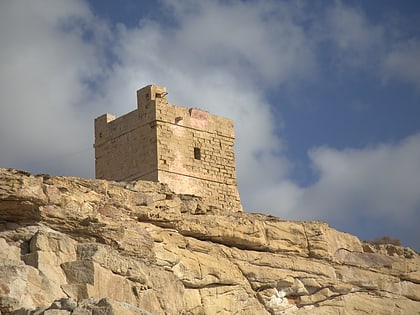
Filfla
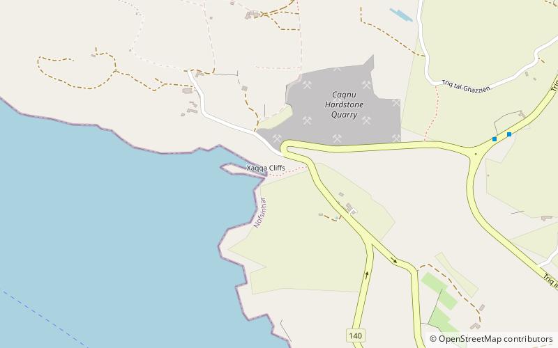
Map
Map

Facts and practical information
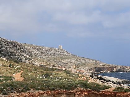
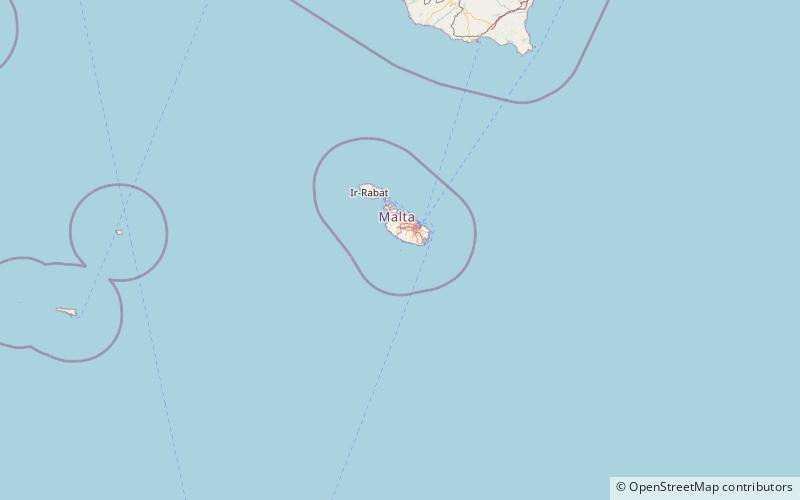
Filfla is a small, mostly barren, uninhabited islet 4.5 kilometres south of Malta, and is the most southerly point of the Maltese Archipelago. filflu, a small rocky islet some 101 metres southwest of Filfla, has the southernmost point of Malta. The name is believed to come from felfel, the Arabic for a peppercorn. ()
Alternative names: Area: 14.83 acres (0.0232 mi²)Maximum elevation: 197 ftTotal islands: 2Archipelago: Maltese islandsCoordinates: 35°47'15"N, 14°24'36"E
Location
Nofsinhar
ContactAdd
Social media
Add
Day trips
Filfla – popular in the area (distance from the attraction)
Nearby attractions include: Blue Grotto, Ħaġar Qim, Mnajdra, Għar Lapsi.


