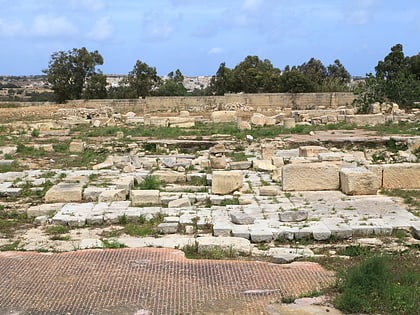
Xrobb l-Għaġin Temple, Malta Island
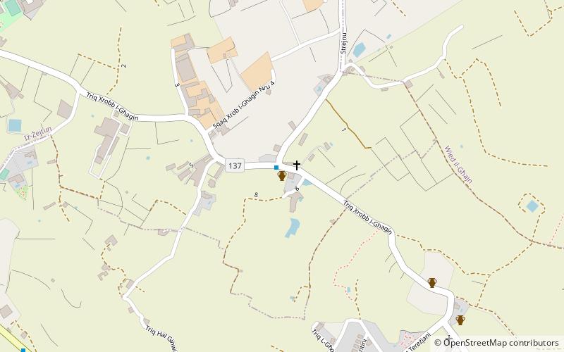
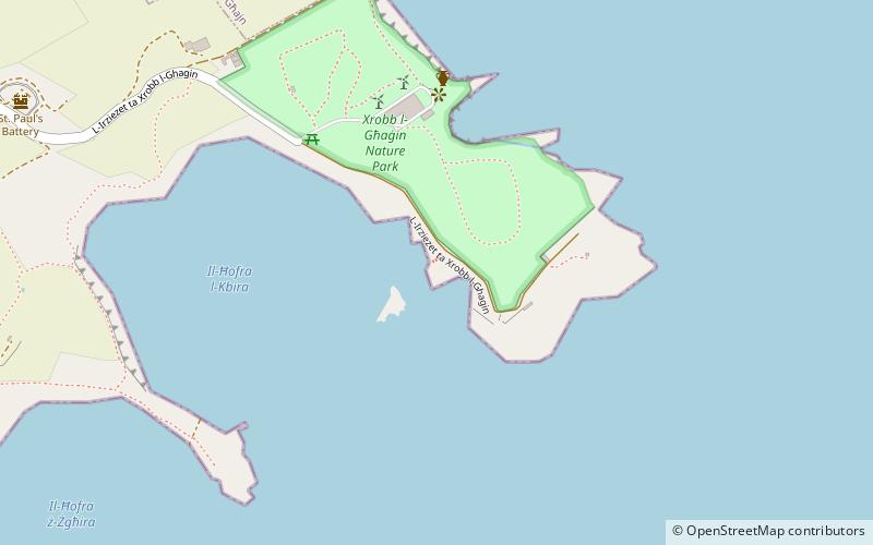
Map
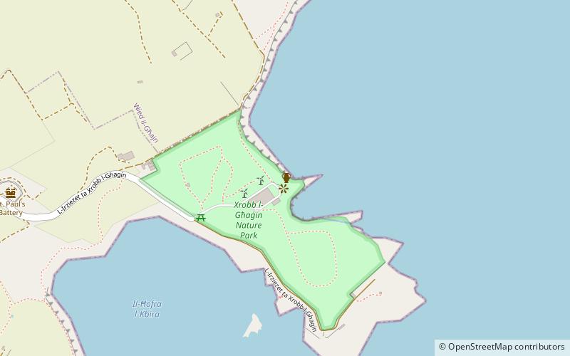
Map

Facts and practical information
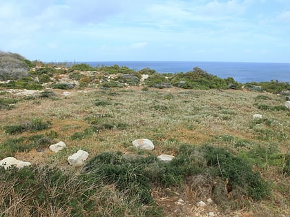
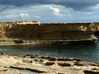
Xrobb l-Għaġin Temple is a ruined megalithic temple in Xrobb l-Għaġin, limits of Marsaxlokk, Malta. After being identified in 1913, the site was excavated between 1914 and 1915. It was believed to have been largely destroyed by coastal erosion later on in the century, but investigations carried out in 2015 revealed that the remains of the temple still survive, along with a previously unrecorded megalithic structure nearby. ()
Built: 3000 B.C.E.Coordinates: 35°50'38"N, 14°34'7"E
Address
Malta Island
ContactAdd
Social media
Add
Day trips
Xrobb l-Għaġin Temple – popular in the area (distance from the attraction)
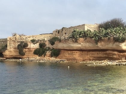
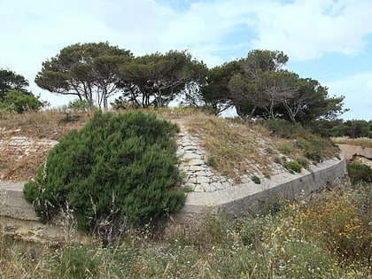
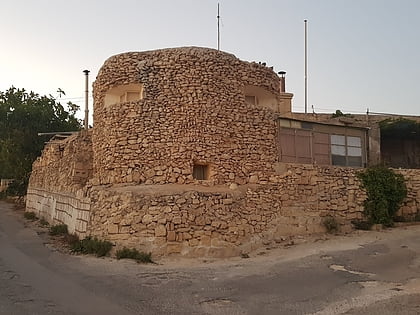
Nearby attractions include: Riħama Battery, Saint Paul's Battery, Ħal Ġinwi temple, Tas-Silġ.
Frequently Asked Questions (FAQ)
Which popular attractions are close to Xrobb l-Għaġin Temple?
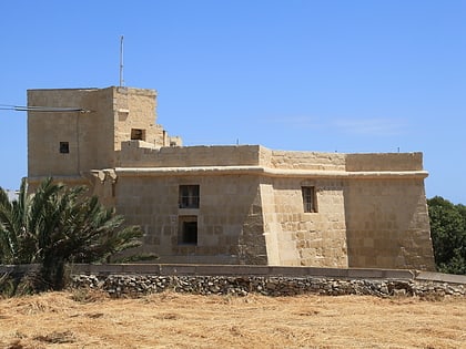
Nearby attractions include Xrobb l-Għaġin Tower, Malta Island (6 min walk), Riħama Battery, Cottonera (12 min walk), Saint Paul's Battery, Malta Island (12 min walk), Wolseley Battery, Malta Island (21 min walk).
How to get to Xrobb l-Għaġin Temple by public transport?
The nearest stations to Xrobb l-Għaġin Temple:
Bus
Bus
- Marsaskala - Baija • Lines: 119, 124, 135, 204, 91, (N) N10 (21 min walk)
- Marsaskala - Bajja • Lines: 119, 135 (22 min walk)
