Ħal Ġinwi temple, Marsaxlokk
Map
Facts and practical information
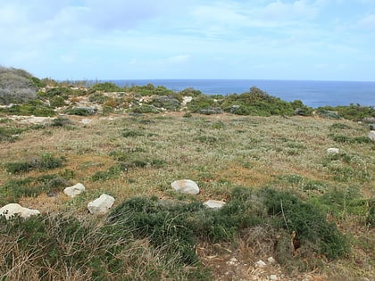
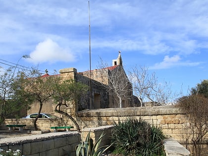
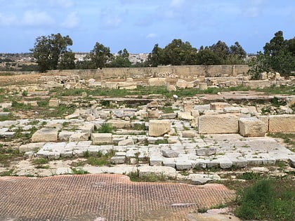
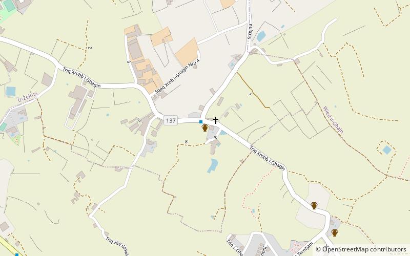
The Ħal Ġinwi temple was a prehistoric megalithic temple site located southeast of Żejtun, Malta dating back to the Ġgantija phase. The site is located in an area bearing the same name, or alternatively Ħal Ġilwi, which is known for its archaeological remains, and lies around one kilometre from the Tas-Silġ multi-period sanctuary and archaeological site. ()
Coordinates: 35°50'55"N, 14°32'50"E
Address
Marsaxlokk
ContactAdd
Social media
Add
Day trips
Ħal Ġinwi temple – popular in the area (distance from the attraction)
Nearby attractions include: Għar Dalam, Parish Church of Our Lady of Pompei, Riħama Battery, Church of St Catherine.
Frequently Asked Questions (FAQ)
Which popular attractions are close to Ħal Ġinwi temple?
Nearby attractions include Chapel of St Nicholas, Marsaxlokk (1 min walk), Tas-Silġ, Marsaxlokk (9 min walk), Parish Church of Our Lady of Pompei, Marsaxlokk (13 min walk), Chapel of St Mary of Ħal Tmin, Marsaskala (14 min walk).


