Panteón Francés, Mexico City
Map
Map

Facts and practical information
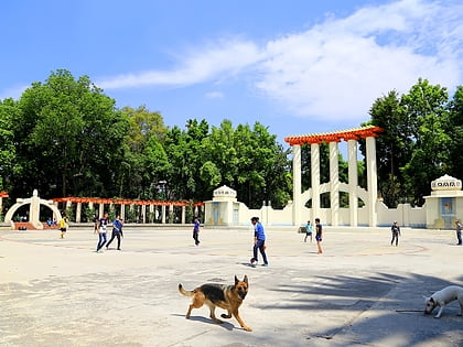
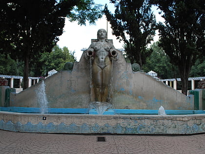
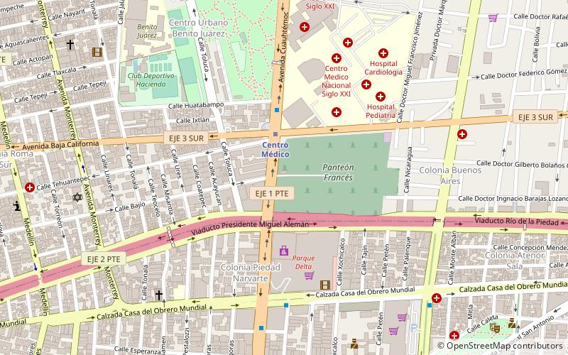
The Panteón Francés de la Piedad is a cemetery in Mexico City in which several notable people are interred. It is located in the southern section of the city, adjacent to the medical center, the Centro Medico Metro station, and the Colonia Buenos Aires neighborhood. Note that there is another "Panteón Francés" in the northwest section of the city, near Panteones metro station; not the same cemetery. ()
Day trips
Panteón Francés – popular in the area (distance from the attraction)
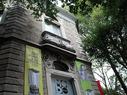
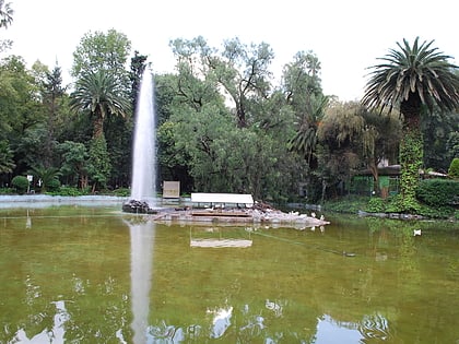
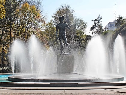
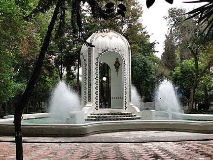
Nearby attractions include: Parque Delta, Centro Cultural Border, Museo MoDo, Parque México.
Frequently Asked Questions (FAQ)
Which popular attractions are close to Panteón Francés?
Nearby attractions include Jardín Ramón López Velarde, Mexico City (9 min walk), Colonia Buenos Aires, Mexico City (9 min walk), Benito Juárez, Mexico City (9 min walk), Centro Urbano Benito Juárez, Mexico City (9 min walk).
How to get to Panteón Francés by public transport?
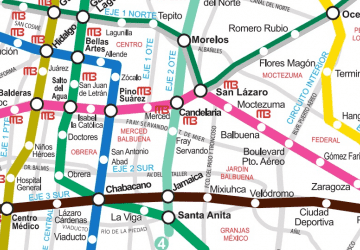
The nearest stations to Panteón Francés:
Metro
Train
Bus
Metro
- Centro Médico • Lines: 3, 9 (3 min walk)
- Hospital General • Lines: 3 (16 min walk)
Train
- Hospital General (16 min walk)
- Etiopía/Plaza de la Transparencia (19 min walk)
Bus
- Etiopía I • Lines: Línea 2 Tacubaya → Tepalcates, Línea 2 Tepalcates → Tacubaya (17 min walk)
- Doctor Vértiz • Lines: Línea 2 Tacubaya → Tepalcates, Línea 2 Tepalcates → Tacubaya (18 min walk)

 Metro
Metro