Palma Sola Archaeological Site, Acapulco

Gallery (1)
Map
Map
Facts and practical information
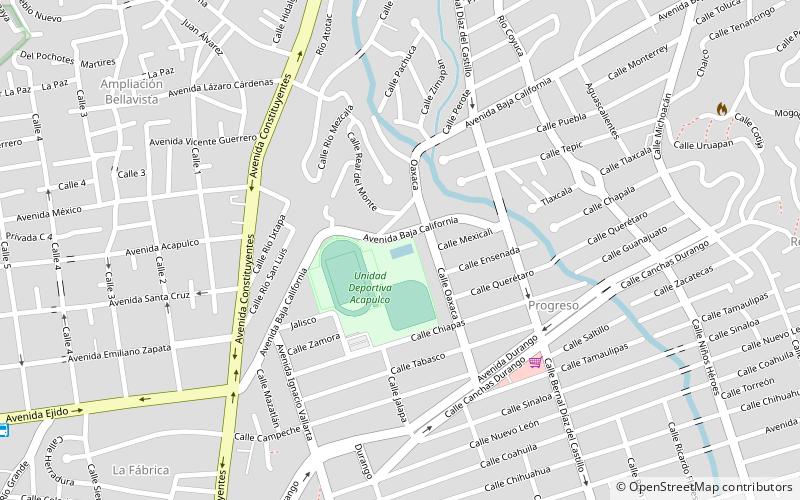
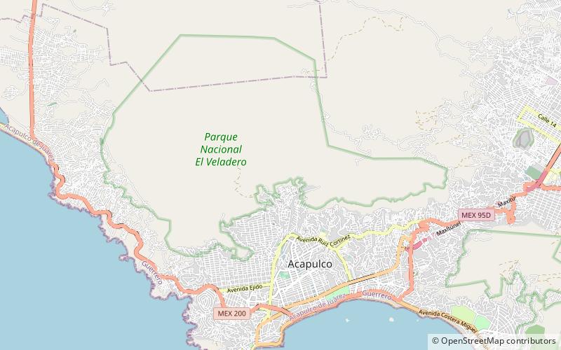
Palma Sola Archaeological Site is a place located in Acapulco (Guerrero state) and belongs to the category of museum.
It is situated at an altitude of 1306 feet, and its geographical coordinates are 16°53'20"N latitude and 99°54'4"W longitude.
Among other places and attractions worth visiting in the area are: Unidad Deportiva Acapulco (football, 41 min walk), Cerro El Veladero (mountain, 42 min walk), Galerías Acapulco (shopping, 58 min walk).
Coordinates: 16°53'20"N, 99°54'4"W
Address
Acapulco
ContactAdd
Social media
Add
Day trips