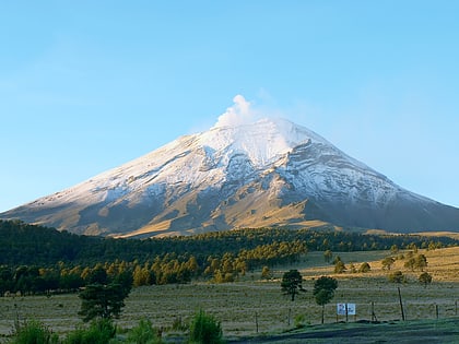
Paso de Cortés, Iztaccíhuatl–Popocatépetl National Park
Map
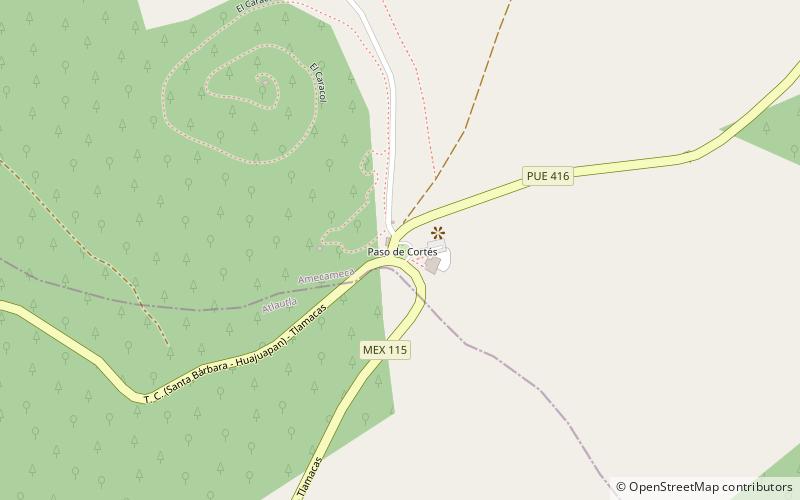
Map

Facts and practical information
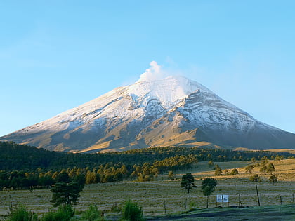
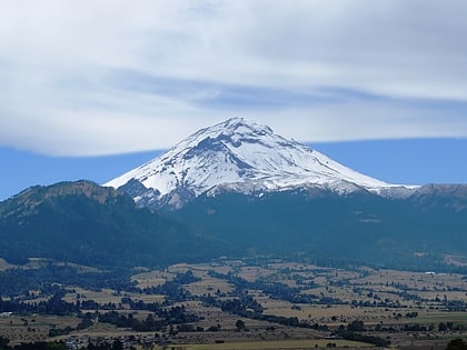
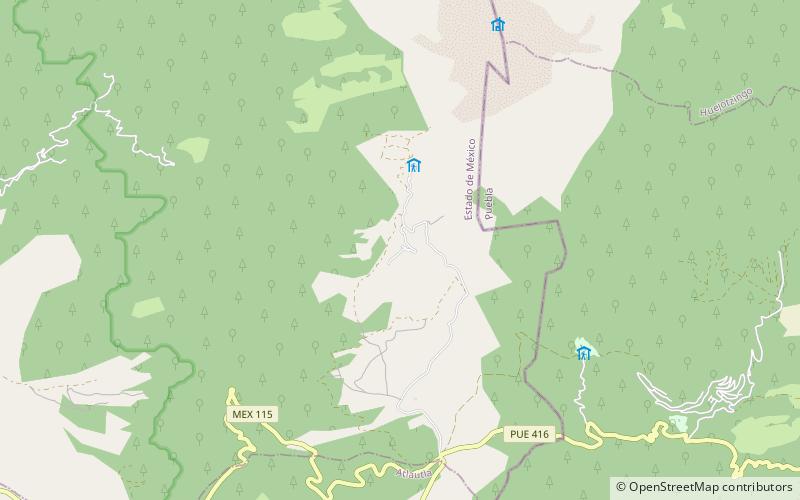
The Paso de Cortés is the mountain pass or saddle between the Popocatépetl and Ixtaccíhuatl volcanoes in central Mexico. It is part of the Trans-Mexican Volcanic Belt, where the normally southeast-trending continental divide turns north for over 16 kilometres. The altitude of the pass is about 3,400 metres. It is located in the municipality of Amecameca in the State of México. ()
Day trips
Paso de Cortés – popular in the area (distance from the attraction)
Nearby attractions include: Popocatépetl, Altzomoni, Pico de Teyra, Glaciar Norte.
