Playa La Ropa, Zihuatanejo

Gallery (1)
Map
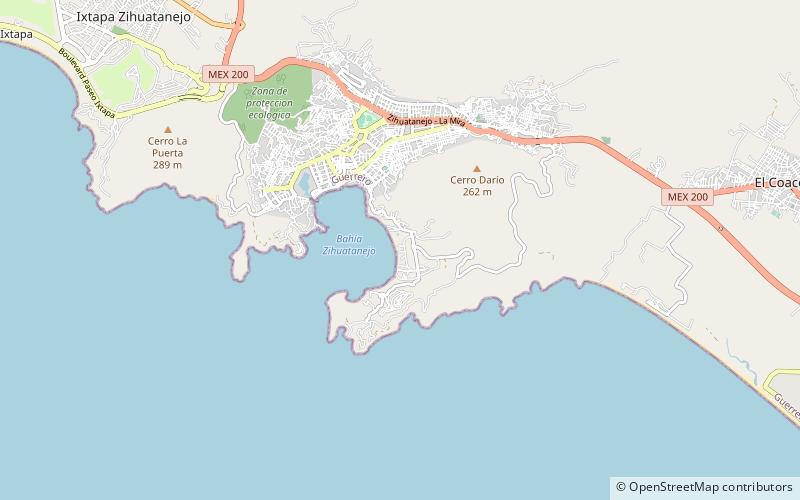
Map
Facts and practical information
Playa La Ropa (address: 100 Boulevard Playa la Ropa) is a place located in Zihuatanejo (Guerrero state) and belongs to the category of beach.
It is situated at an altitude of 33 feet, and its geographical coordinates are 17°37'43"N latitude and 101°32'42"W longitude.
Among other places and attractions worth visiting in the area are: Ixtapa (city, 112 min walk).
Coordinates: 17°37'43"N, 101°32'42"W
Day trips
Playa La Ropa – popular in the area (distance from the attraction)
Nearby attractions include: Ixtapa.
