Lake Texcoco, Mexico City
Map
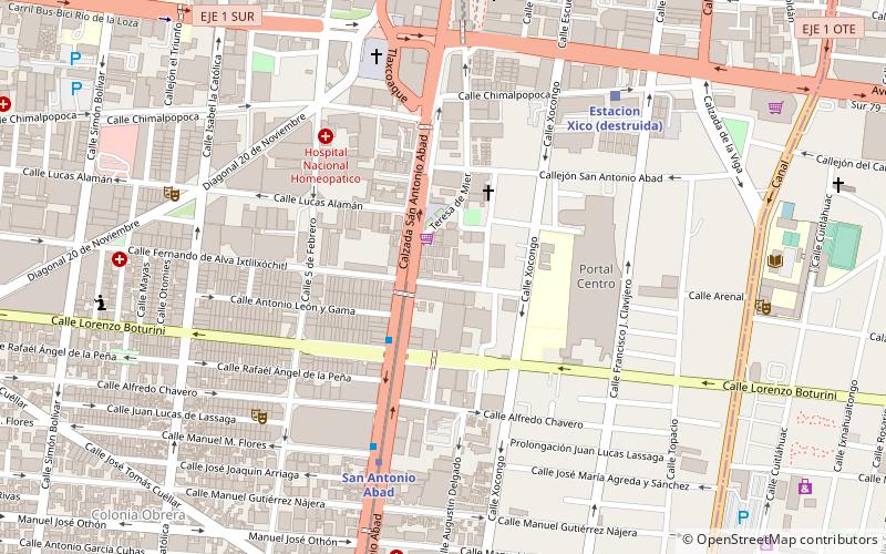
Map

Facts and practical information
Lake Texcoco was a natural lake within the "Anahuac" or Valley of Mexico. Lake Texcoco is best known as where the Aztecs built the city of Tenochtitlan, which was located on an island within the lake. After the Spanish conquest of the Aztec Empire, efforts to control flooding by the Spanish led to most of the lake being drained. ()
Local name: Lago de Texcoco Area: 772.2 mi²Maximum depth: 500 ftElevation: 7346 ft a.s.l.Coordinates: 19°25'10"N, 99°7'60"W
Address
Cuauhtémoc (Tránsito)Mexico City
ContactAdd
Social media
Add
Day trips
Lake Texcoco – popular in the area (distance from the attraction)
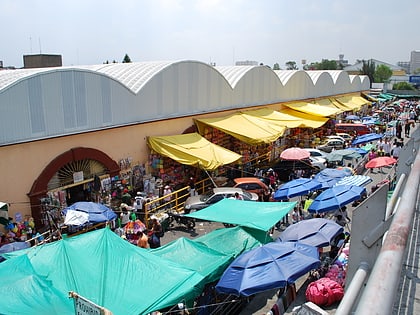
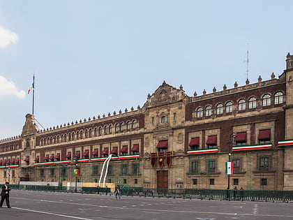
Nearby attractions include: Palacio Nacional, Zócalo, La Merced Market, Plaza Tenochtitlán.
Frequently Asked Questions (FAQ)
Which popular attractions are close to Lake Texcoco?
Nearby attractions include Colonia Tránsito, Mexico City (4 min walk), Plaza Tlaxcoaque, Mexico City (8 min walk), Colonia Esperanza, Mexico City (9 min walk), Museo de Charrería, Mexico City (12 min walk).
How to get to Lake Texcoco by public transport?
The nearest stations to Lake Texcoco:
Metro
Train
Bus
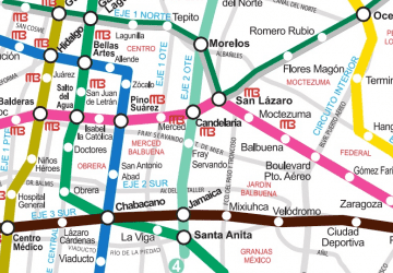
Metro
- San Antonio Abad • Lines: 2 (7 min walk)
- Pino Suárez • Lines: 1, 2 (11 min walk)
Train
- San Antonio Abad (7 min walk)
- Isabel la Católica (15 min walk)
Bus
- Balderas • Lines: Gps (30 min walk)
- Paradero RTP Balderas (31 min walk)
 Metro
Metro