Cerro de la Estrella Archaeological Site, Mexico City
Map
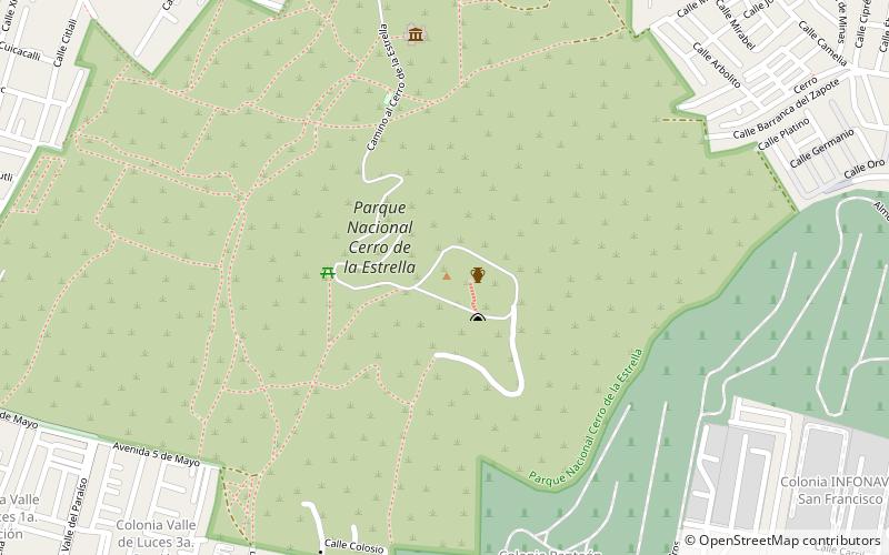
Map

Facts and practical information
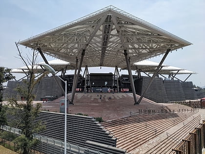
Cerro de la Estrella is a Mesoamerican archaeological site located in southeastern Central Mexico's Valley of Mexico, in the Iztapalapa alcaldía of Mexico City at an elevation of 2460 meters above sea level, hence its Summit is 224 m over the Valley of Mexico level. At the southeast edge of what was the Great Texcoco Lake. ()
Elevation: 7976 ft a.s.l.Coordinates: 19°20'38"N, 99°5'26"W
Address
Carretera Escénica al Cerro de la Estrella Km. 2 s/nMexico City 09856
ContactAdd
Social media
Day trips
Cerro de la Estrella Archaeological Site – popular in the area (distance from the attraction)
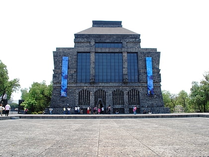
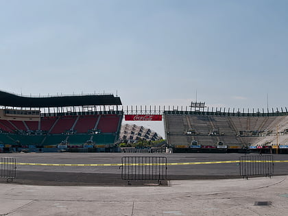
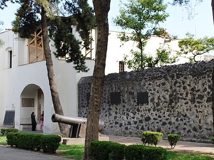
Nearby attractions include: Museo Diego Rivera-Anahuacalli, Foro Sol, Museo Nacional de las Intervenciones, Lake Xochimilco.
Frequently Asked Questions (FAQ)
How to get to Cerro de la Estrella Archaeological Site by public transport?
The nearest stations to Cerro de la Estrella Archaeological Site:
Metro
Train
Bus
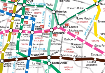
Metro
- Cerro de la Estrella • Lines: 8 (23 min walk)
- Iztapalapa • Lines: 8 (26 min walk)
Train
- Metro Iztapalapa (25 min walk)
Bus
- Paradero Metro Iztapalapa (26 min walk)

 Metro
Metro