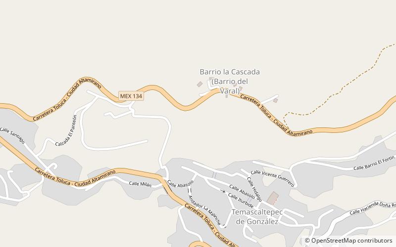
Temascaltepec de González
Map

Map

Facts and practical information
Temascaltepec de González is a city and seat of the municipality of Temascaltepec located in south of the State of Mexico in Mexico. It is 66 km southeast of Toluca and 140 km, from Mexico City. Temascaltepec comes from the Náhuatl "temazcalli," which means "steam bath," and "tepetl," which means "hill." The Matlatzincas named the area "Cocalostoc," which means 'cave of crows'. ()
Local name: Temascaltepec Founded: 1555 (471 years ago)Population: 2.5 thous.Coordinates: 19°2'50"N, 100°2'38"W
Location
México
ContactAdd
Social media
Add
