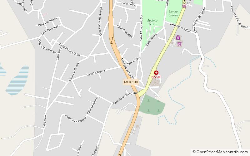
Xicotepec
Map

Map

Facts and practical information
Xicotepec is one of the 217 municipalities that make up the Mexican state of Puebla in central-eastern Mexico. It is located within the Sierra Norte de Puebla and belongs to the first region of the state. Its head is the city of Xicotepec de Juárez, which has been recognized by the Mexico's Secretary of Tourism as one of the 121 pueblos mágicos in the country since 2012. ()
Location
Puebla
ContactAdd
Social media
Add
