Estadio General Joaquín Amaro, Mexico City
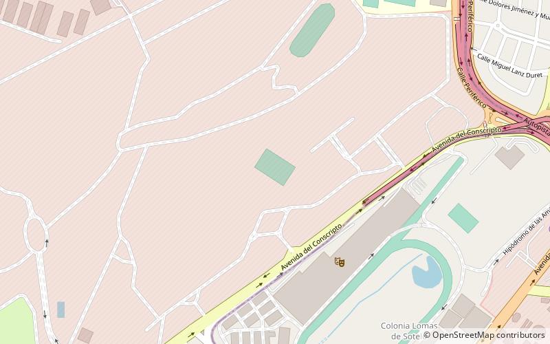
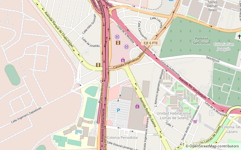
Map
Facts and practical information
Estadio General Joaquín Amaro is a stadium in Mexico City, Mexico. It is primarily used for American football and is the home field of the Centinelas del Cuerpo de Guardias Presidenciales. It holds 6,500 people. ()
Coordinates: 19°26'34"N, 99°13'34"W
Address
Campo MilitarMexico City
ContactAdd
Social media
Add
Getting there by public transportation
Public transportation stops near this location
- Metro
- Bus
 Metro
Metro
- Calculate routeMexipuerto Cuatro Caminos 32 min walk
- Calculate routeCuatro Caminos 34 min walk
Maps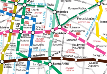 Metro
Metro
MetroDay trips
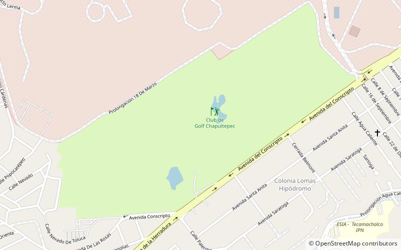
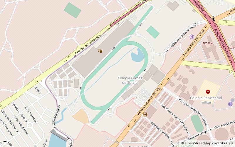
Estadio General Joaquín Amaro – popular in the area (distance from the attraction)
Nearby attractions include: Club de Golf Chapultepec, Hipódromo de las Américas, Toreo Parque Central, Magic Circus.

Frequently Asked Questions (FAQ)
How to get to Estadio General Joaquín Amaro by public transport?
The nearest stations to Estadio General Joaquín Amaro:
Bus
Metro
Bus
- Mexipuerto Cuatro Caminos (32 min walk)
Metro
- Cuatro Caminos • Lines: 2 (34 min walk)