Picacho del Diablo
Map

Map

Facts and practical information
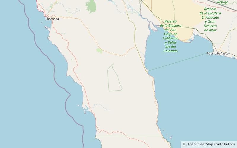
Picacho del Diablo is the highest peak on the Baja California peninsula, measuring 3,096 metres. It is alternately called Cerro de la Encantada, meaning 'Hill of the Enchanted' or 'Hill of the Bewitched'. The peak is located in the Sierra de San Pedro Mártir, a part of the Peninsular Ranges in the Mexican state of Baja California. ()
Local name: Cerro de La Encantada Elevation: 10157 ftProminence: 6939 ftCoordinates: 30°59'29"N, 115°22'30"W
Location
Baja California
ContactAdd
Social media
Add
Day trips
Picacho del Diablo – popular in the area (distance from the attraction)
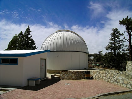
Nearby attractions include: National Astronomical Observatory.

