Cuajimalpa, Mexico City
Map
Map

Facts and practical information
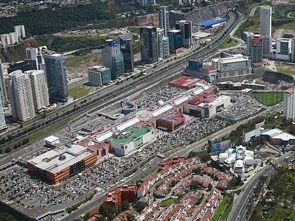
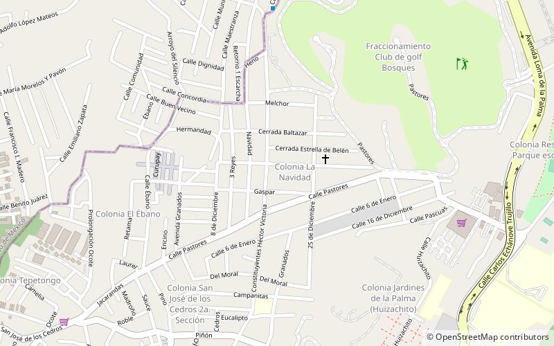
Cuajimalpa de Morelos is a borough in the Mexico City. It is located on the west side of the city in the Sierra de las Cruces mountains which separate Mexico City from the State of Mexico. The borough is named after the former rural town of Cuajimalpa, which has since been absorbed by urban sprawl. The borough is home to the Desierto de los Leones National Park, the first declared in Mexico as well as the second largest annual passion play in Mexico City. ()
Best Ways to Experience the Place
Food & drink
CuisineA guide to some of the best local dishes and drinks that you will meet in the region.
More
Show more
Day trips
Cuajimalpa – popular in the area (distance from the attraction)
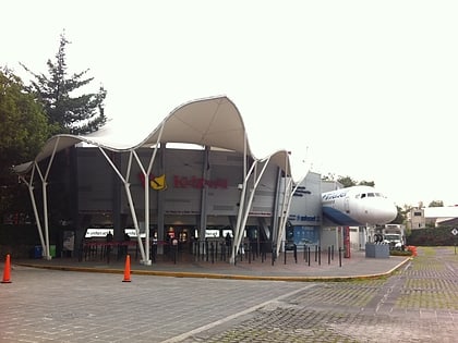
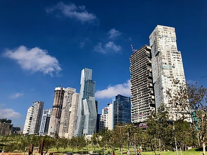
Nearby attractions include: KidZania, Centro Santa Fe, Zentrika, Torre Altus.
Frequently Asked Questions (FAQ)
How to get to Cuajimalpa by public transport?
The nearest stations to Cuajimalpa:
Bus
Train
Bus
- Centro Comercial Santa Fe (25 min walk)
- Juan Salvador Argaz - Office Depot • Lines: 34 A, 34 B, Gps (31 min walk)
Train
- Estación Santa Fé (32 min walk)
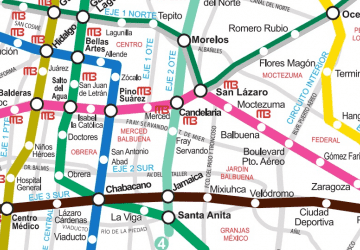 Metro
Metro