Zona Norte, Tijuana
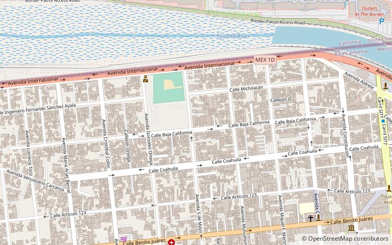
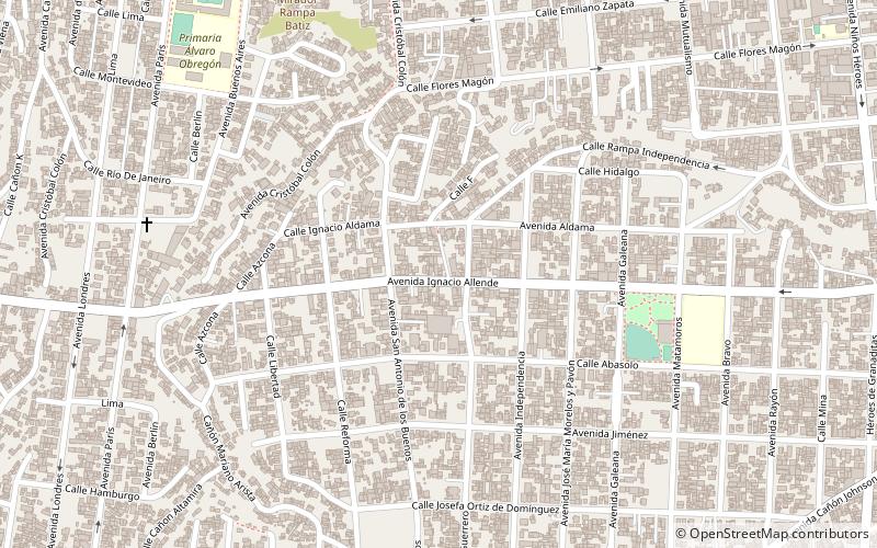
Map
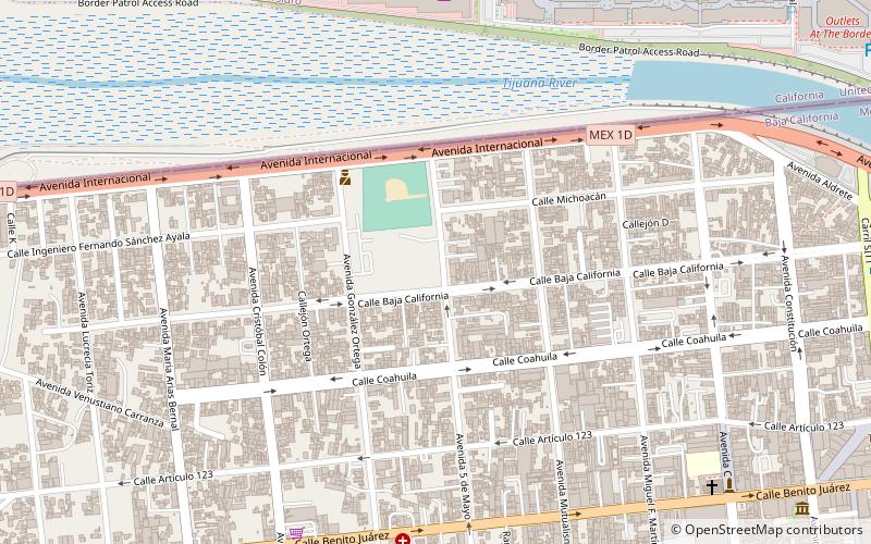
Map

Facts and practical information
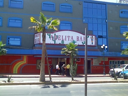
Zona Norte is an official neighborhood, as well as a red light district located in Tijuana, Mexico. It is among the largest red-light districts in North America known for its brothels, which present themselves in public as strip clubs and bars, similar to gentlemen's clubs in the United States. ()
Coordinates: 32°32'20"N, 117°2'46"W
Address
Centro (Zona Norte)Tijuana
ContactAdd
Social media
Add
Day trips
Zona Norte – popular in the area (distance from the attraction)
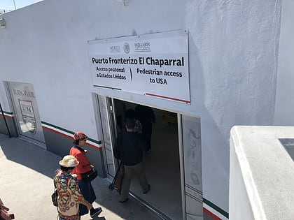
Nearby attractions include: El Chaparral, South San Diego, Downtown Tijuana, Museo de Cera.
Frequently Asked Questions (FAQ)
Which popular attractions are close to Zona Norte?
Nearby attractions include Downtown Tijuana, Tijuana (1 min walk), Museo de las Californias, Tijuana (16 min walk), Museo de Cera, Tijuana (16 min walk), El Chaparral, Tijuana (18 min walk).
How to get to Zona Norte by public transport?
The nearest stations to Zona Norte:
Bus
Bus
- Calle Tercera • Lines: T101, T102 (16 min walk)
- Jai Alai • Lines: T101, T102 (24 min walk)
