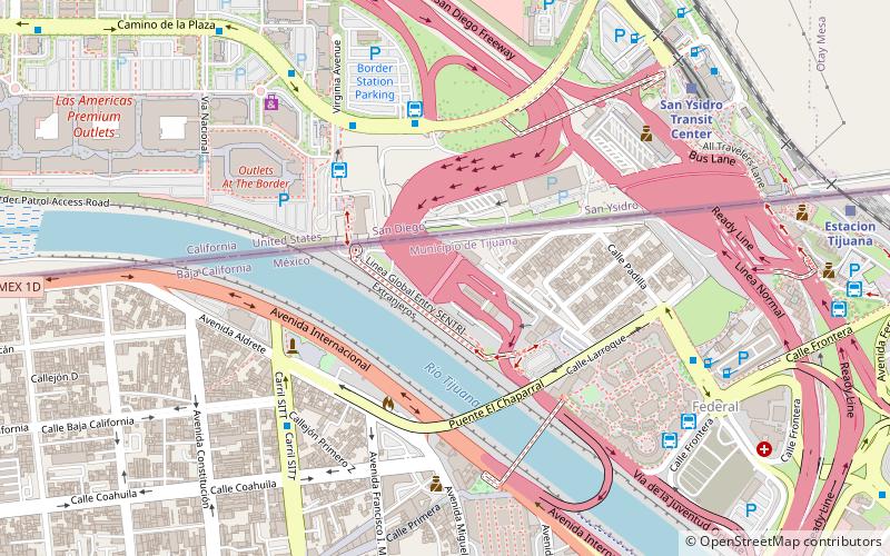
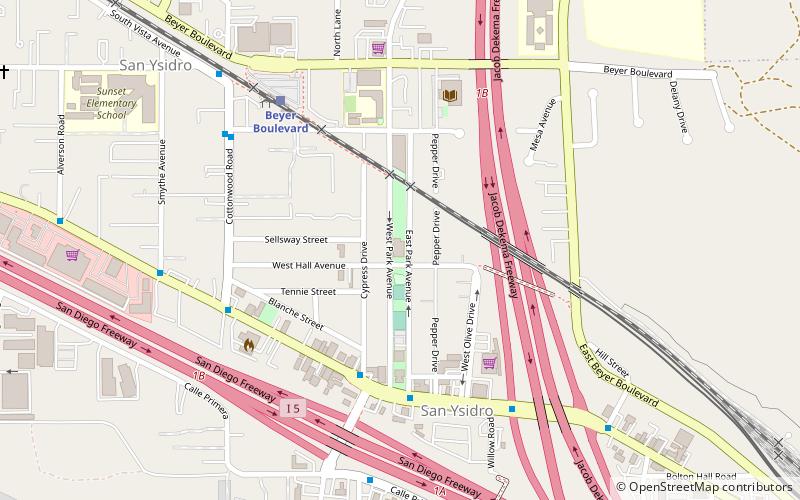
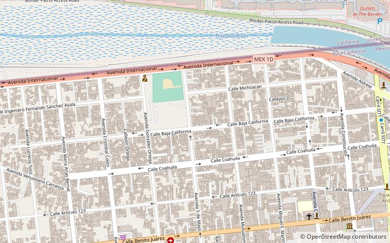
El Chaparral, Tijuana

Facts and practical information
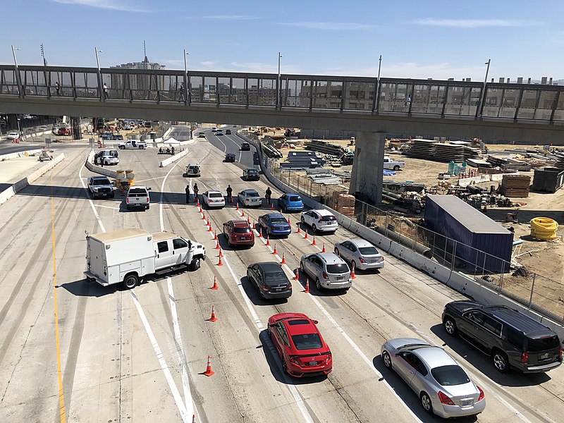
El Chaparral, situated in the bustling border city of Tijuana, Mexico, is a gateway between nations, serving as a primary port of entry to the United States from Mexico. Officially known as the El Chaparral Port of Entry, this border crossing facility opened its gates in 2012, replacing the former San Ysidro Port of Entry which had served as the main entry point for decades.
Designed to streamline the flow of travelers and improve overall security, El Chaparral has quickly become a critical infrastructure node in the complex network of international borders. It features a modern design with increased processing capacity, aimed at reducing wait times for the millions of pedestrians and vehicles that pass through annually.
The port of entry is equipped with multiple lanes for both personal vehicles and commercial traffic, as well as dedicated pedestrian pathways. Advanced technology is employed to ensure efficient and effective border control, including sophisticated surveillance systems and biometric identification for travelers.
El Chaparral is more than just a crossing point; it is a symbol of the interconnectedness of the United States and Mexico, serving as a transit point for commerce, tourism, and family connections. The facility operates 24/7, ensuring that the movement of people and goods between the two countries is as smooth as possible, reflecting the dynamic and interdependent relationship of the neighboring nations.
In addition to its operational role, El Chaparral has also been a site of political and social significance, often highlighted in discussions about immigration policy and border security. It is a place where the complexities of international relations and human mobility are visibly manifested.
Centro (Empleados Federales)Tijuana
- Bus
 Bus
Bus
- Calculate routeCalle Tercera 13 min walk
- Calculate routePueblo Amigo 14 min walk
- Calculate routeDiana Cazadora 21 min walk
- Calculate routeJai Alai 23 min walk


Frequently Asked Questions (FAQ)
Which popular attractions are close to El Chaparral?
How to get to El Chaparral by public transport?
Bus
- Calle Tercera • Lines: T101, T102 (13 min walk)
- Pueblo Amigo • Lines: T101, T102 (14 min walk)