Eje Central, Mexico City
Map

Gallery

Facts and practical information
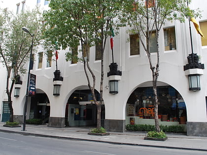
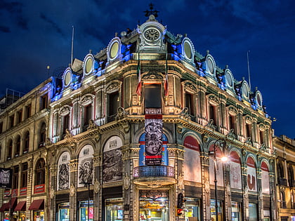
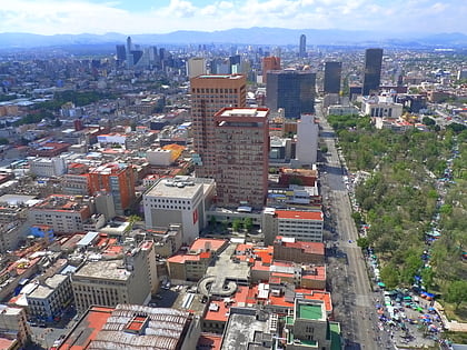
The Eje Central or Avenida Lázaro Cárdenas is an avenue in the Cuauhtémoc and Gustavo A. Madero borough of Mexico City. It is part of a system called eje vial of roadways built by Carlos Hank González to modernize Mexico City for improved traffic flow through the city. As its name indicates, it runs through the central zones of the city, starting at Río de los Remedios Avenue and ending at Río Churubusco Avenue, near Eje Central metro station. ()
Address
Cuauhtémoc (Centro)Mexico City
ContactAdd
Social media
Add
Day trips
Eje Central – popular in the area (distance from the attraction)
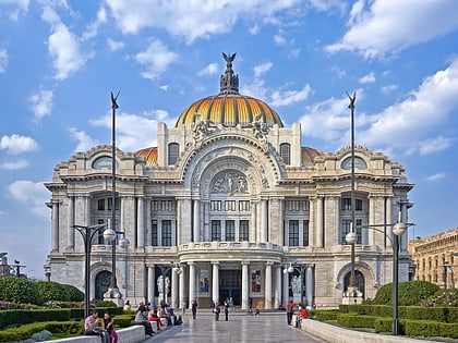
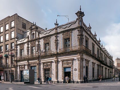
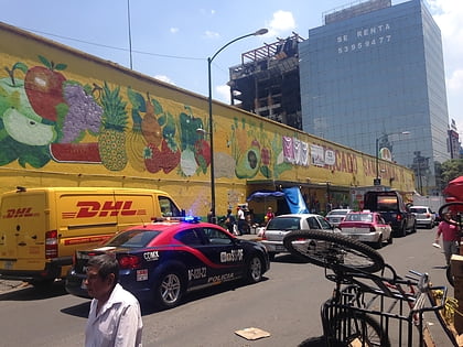
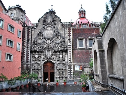
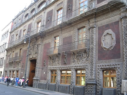
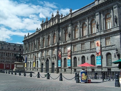
Nearby attractions include: Palacio de Bellas Artes, Casa de los Azulejos, Mercado de San Juan, La Casa de Madero.
Frequently Asked Questions (FAQ)
Which popular attractions are close to Eje Central?
Nearby attractions include Palacio de Bellas Artes, Mexico City (2 min walk), Palacio de Correos de Mexico, Mexico City (2 min walk), Casa de los Azulejos, Mexico City (2 min walk), Mirador Torre Latino, Mexico City (2 min walk).
How to get to Eje Central by public transport?
The nearest stations to Eje Central:
Train
Metro
Bus
Train
- Bellas Artes (3 min walk)
- Hidalgo (12 min walk)
Metro
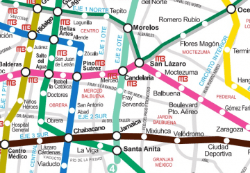
- Bellas Artes • Lines: 2, 8 (3 min walk)
- Allende • Lines: 2 (7 min walk)
Bus
- Bellas Artes • Lines: 4 (3 min walk)
- Teatro Blanquita • Lines: 4 (7 min walk)

 Metro
Metro