Cerro del Chiquihuite, Mexico City
Map
Map

Facts and practical information
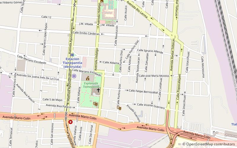
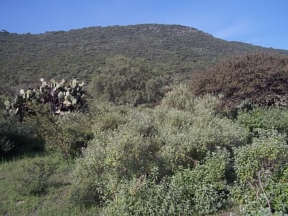
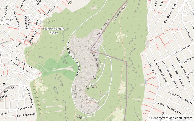
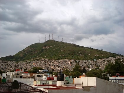
Cerro del Chiquihuite is a hill located in the north of Mexico City, in the borough of Gustavo A. Madero and bordering the municipality of Tlalnepantla de Baz in the State of Mexico. The hill has a height of 2,730 metres above sea level and forms part of the Sierra de Guadalupe mountain range. ()
Address
Mexico City
ContactAdd
Social media
Add
Day trips
Cerro del Chiquihuite – popular in the area (distance from the attraction)
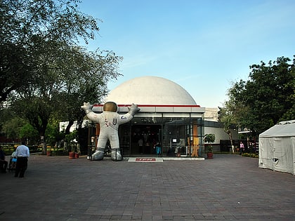
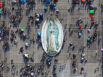
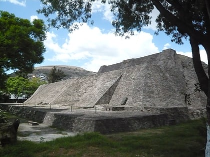
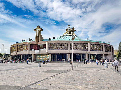
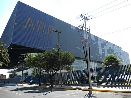
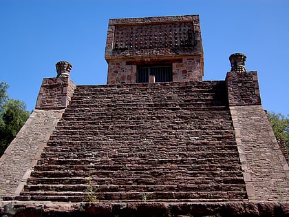
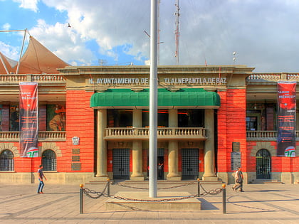
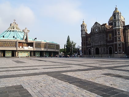
Nearby attractions include: Planetario Luis Enrique Erro, Our Lady of Guadalupe, Tenayuca, Basilica of Our Lady of Guadalupe.
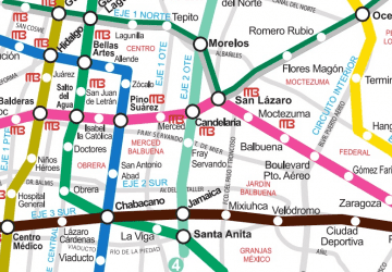 Metro
Metro