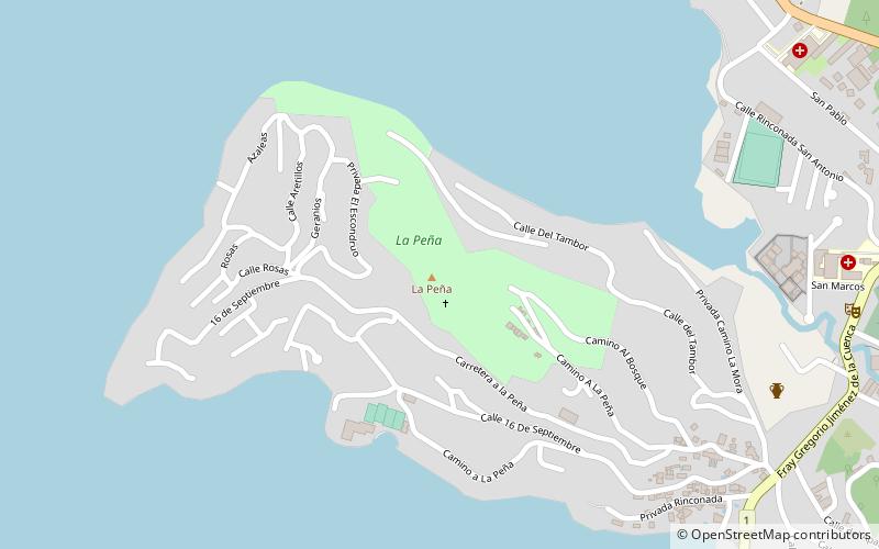
La Peña, Valle de Bravo

Gallery (1)
Map
Map
Facts and practical information
La Peña is a place located in Valle de Bravo (México state) and belongs to the category of park, relax in park.
It is situated at an altitude of 6204 feet, and its geographical coordinates are 19°12'10"N latitude and 100°8'38"W longitude.
Elevation: 6204 ft a.s.l.Coordinates: 19°12'10"N, 100°8'38"W
Address
Valle de Bravo
ContactAdd
Social media
Add