Los Pinos, Mexico City
Map

Map

Facts and practical information
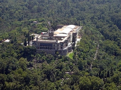
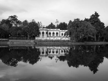
Los Pinos was the official residence and office of the President of Mexico from 1934 to 2018. Located in the Bosque de Chapultepec in central Mexico City, it became the presidential seat in 1934, when Gen. Lázaro Cárdenas became the first president to live there. The term Los Pinos became a metonym for the Presidency of Mexico. ()
Address
S/N Molino del ReyMiguel Hidalgo (Bosque de Chapultepec)Mexico City
Contact
Social media
Add
Day trips
Los Pinos – popular in the area (distance from the attraction)
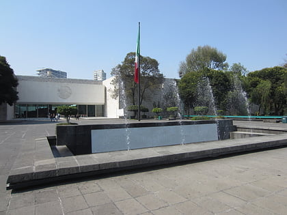
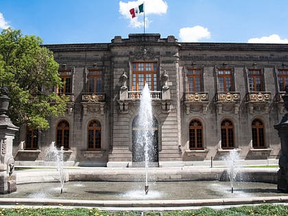
Nearby attractions include: Museo Nacional de Antropología, Chapultepec Castle, La Feria de Chapultepec, Chapultepec.
Frequently Asked Questions (FAQ)
Which popular attractions are close to Los Pinos?
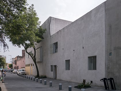
Nearby attractions include Montaña Rusa, Mexico City (8 min walk), Archivo Diseño y Arquitectura, Mexico City (8 min walk), Luis Barragán House and Studio, Mexico City (9 min walk), Galería de Arte Mexicano, Mexico City (9 min walk).
How to get to Los Pinos by public transport?
The nearest stations to Los Pinos:
Bus
Metro
Train
Bus
- Avenida Constituyentes- General Melchor Muzquiz • Lines: Gps (6 min walk)
- Constituyentes - Gobernador Tiburcio Montiel • Lines: Gps (11 min walk)
Metro
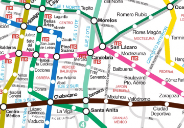
- Constituyentes • Lines: 7 (7 min walk)
- Juanacatlán • Lines: 1 (16 min walk)
Train
- Estación del tren de Chapultepec (19 min walk)
- Chapultepec (26 min walk)

 Metro
Metro