San Ángel, Mexico City

Gallery (11)
Map

Map

Gallery
Facts and practical information
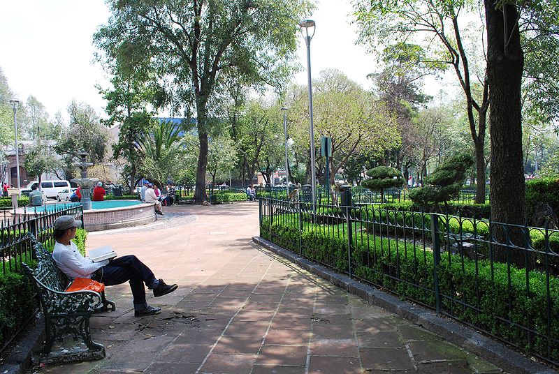
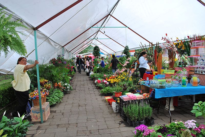
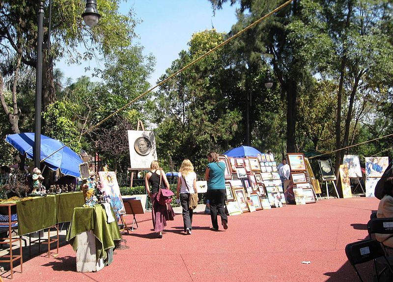
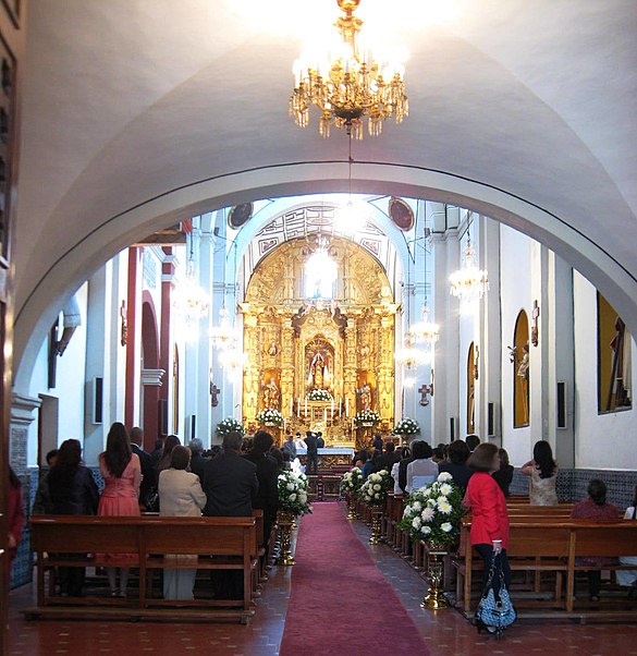
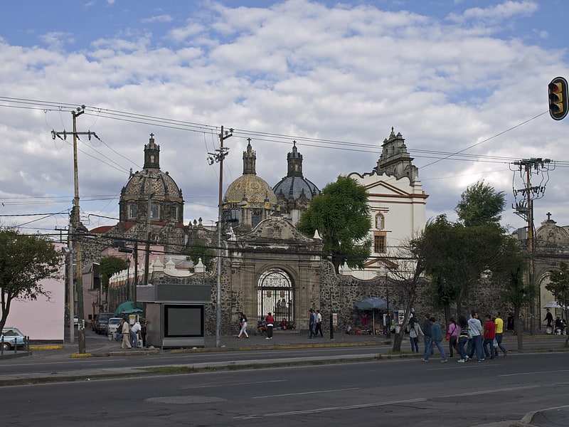
San Ángel is a colonia or neighborhood of Mexico City, located in the southwest in Álvaro Obregón borough. Historically, it was a rural community, called Tenanitla in the pre-Hispanic period. Its current name is derived from the El Carmen monastery school called San Ángel Mártir. San Ángel remained a rural community, centered on the monastery until the 19th and 20th centuries, when the monastery was closed and when the area joined urban sprawl of Mexico City. However, the area still contains many of its former historic buildings and El Carmen is one of the most visited museums in the city. It is also home to an annual flower fair called the Feria de las Flores, held since 1856. ()
Address
Mexico City
ContactAdd
Social media
Add
Getting there by public transportation
Public transportation stops near this location
- Metro
- Bus
- Train
 Metro
Metro
- Calculate routeLa Bombilla 2 min walk
- Calculate routeAltavista 7 min walk
- Calculate routeCETRAM Doctor Gálvez 8 min walk
- Calculate routeDoctor Gálvez 12 min walk
- Calculate routeMiguel Ángel de Quevedo 11 min walk
- Calculate routeViveros-Derechos Humanos 24 min walk
- Calculate routeCopilco 26 min walk
- Calculate routeBarranca del Muerto 26 min walk
- Calculate routeMiguel Ángel de Quevedo 11 min walk
- Calculate routeViveros-Derechos Humanos 24 min walk
- Calculate routeCopilco 26 min walk
- Calculate routeCoyoacán 37 min walk
Maps Metro
Metro
MetroDay trips


Frequently Asked Questions (FAQ)
Which popular attractions are close to San Ángel?
Nearby attractions include Parque de la Bombilla, Mexico City (2 min walk), El Carmen complex, Mexico City (7 min walk), Museo De La Acuarela, Mexico City (17 min walk), Fonoteca Nacional, Mexico City (18 min walk).
How to get to San Ángel by public transport?
The nearest stations to San Ángel:
Bus
Metro
Train
Bus
- La Bombilla • Lines: Mb L1 (2 min walk)
- Altavista • Lines: Mb L1 (7 min walk)
Metro
- Miguel Ángel de Quevedo • Lines: 3 (11 min walk)
- Viveros-Derechos Humanos • Lines: 3 (24 min walk)
Train
- Miguel Ángel de Quevedo (11 min walk)
- Viveros-Derechos Humanos (24 min walk)