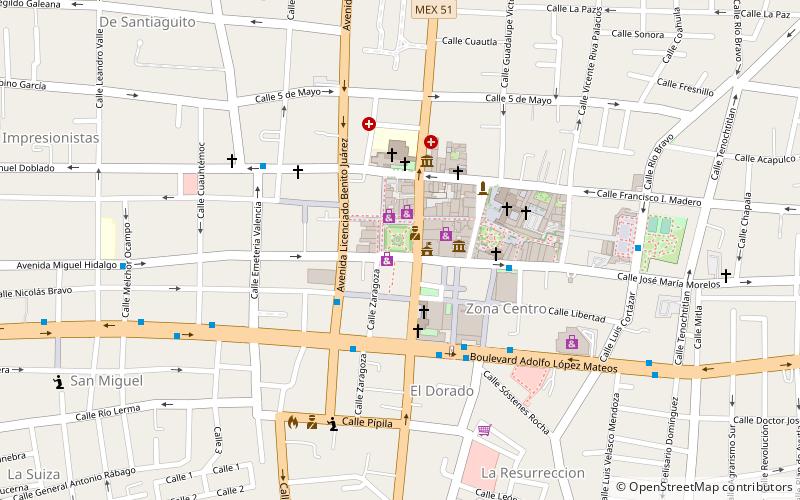
Presidencia Municipal de Celaya, Celaya
Map

Map

Facts and practical information
Celaya, officially called the Free Municipality of Celaya, is one of the forty-six municipalities that make up the Mexican state of Guanajuato, being its capital the city of the same name. Founded on October 12, 1570, it established its first city council on January 1, 1571. It is located in the Bajío region, in the central-southeastern part of the state.
It has a total land area of 553.1 square kilometers, being the 21st at the state level. The number of inhabitants on the other hand, represents the 3rd, with a population of 521 169 inhabitants.
Day trips
Presidencia Municipal de Celaya – popular in the area (distance from the attraction)
Nearby attractions include: Museo de Celaya Historia Regional, Estadio Miguel Alemán Valdés.


