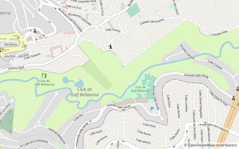
Club de Golf Bellavista, Mexico City

Gallery (1)
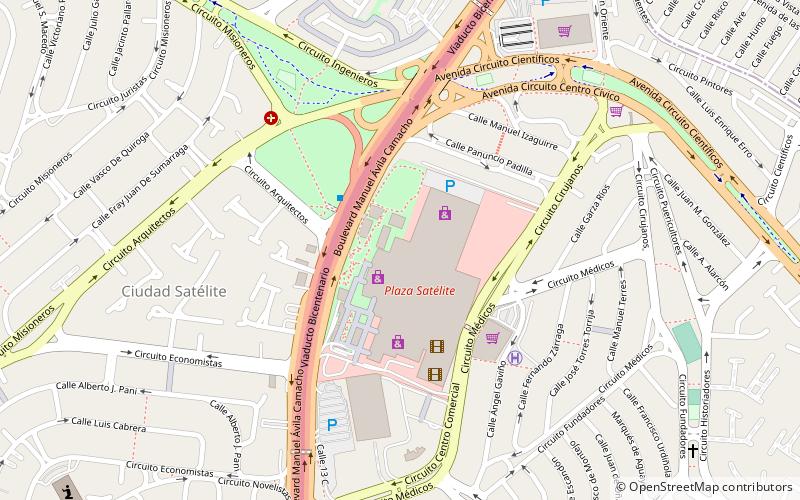
Map
Map
Facts and practical information
Club de Golf Bellavista is a place located in Mexico City (México state) and belongs to the category of golf.
It is situated at an altitude of 7500 feet, and its geographical coordinates are 19°31'40"N latitude and 99°14'43"W longitude.
Among other places and attractions worth visiting in the area are: Ciudad Satélite (area, 33 min walk), Plaza Satélite (shopping, 35 min walk), Estadio José Ortega Martínez (sport venue, 49 min walk).
Coordinates: 19°31'40"N, 99°14'43"W
Address
Mexico City
ContactAdd
Social media
Add
Public Transportation
Maps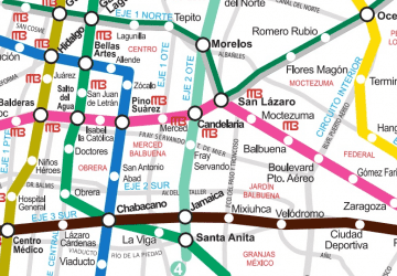 Metro
Metro
MetroDay trips