Biblioteca de México José Vasconcelos, Mexico City
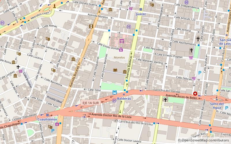
Map
Map

Facts and practical information
The Citadel is a building in Mexico City was built between 1793 and 1807 by the Spanish architect José Antonio González Velázquez with the purpose of housing the Royal Factory of Cigars and Cigars of Mexico. Currently the building houses the Library of Mexico "José Vasconcelos" and the Image Center and the headquarters of the General Directorate of Libraries of the Ministry of Culture of the country.
Coordinates: 19°25'43"N, 99°8'59"W
Day trips
Biblioteca de México José Vasconcelos – popular in the area (distance from the attraction)
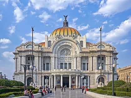
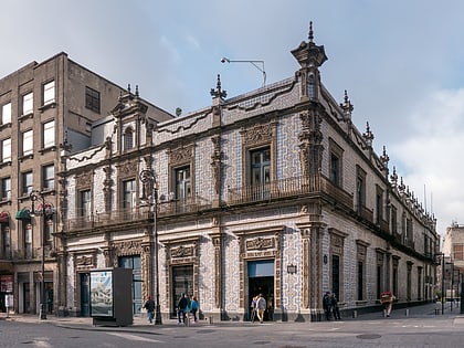
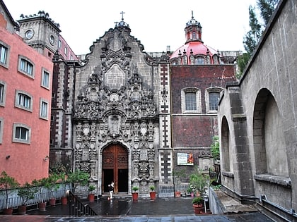
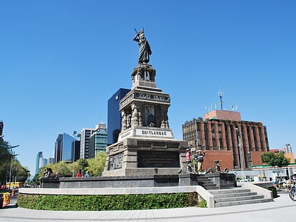
Nearby attractions include: Palacio de Bellas Artes, Casa de los Azulejos, Mercado de San Juan, Arena México.
Frequently Asked Questions (FAQ)
Which popular attractions are close to Biblioteca de México José Vasconcelos?
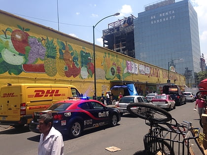
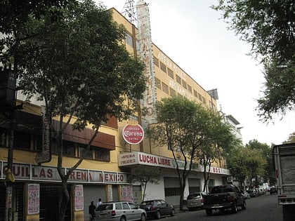
Nearby attractions include Ciudadela Market, Mexico City (3 min walk), Arena México, Mexico City (9 min walk), Mercado de San Juan Ernesto Pugibet, Mexico City (9 min walk), Bucareli, Mexico City (9 min walk).
How to get to Biblioteca de México José Vasconcelos by public transport?
The nearest stations to Biblioteca de México José Vasconcelos:
Bus
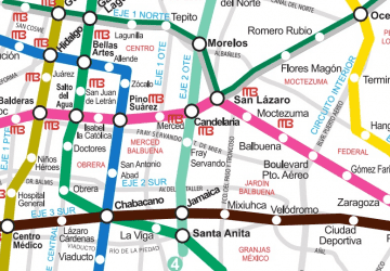
Metro
Train
Bus
- Paradero RTP Balderas (3 min walk)
- Balderas • Lines: Gps (3 min walk)
Metro
- Balderas • Lines: 1, 3 (3 min walk)
- Juárez • Lines: 3 (9 min walk)
Train
- Juárez (9 min walk)
- Cuauhtémoc (10 min walk)

 Metro
Metro