El Acertijo, Torreón
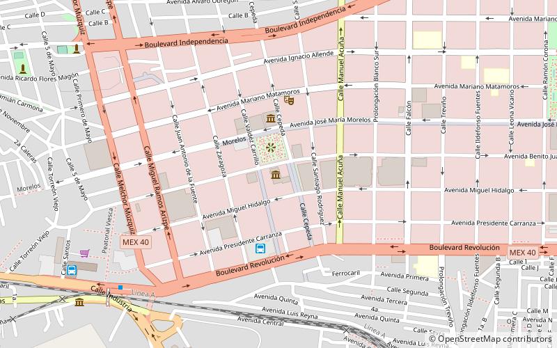
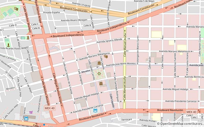
Map
Facts and practical information
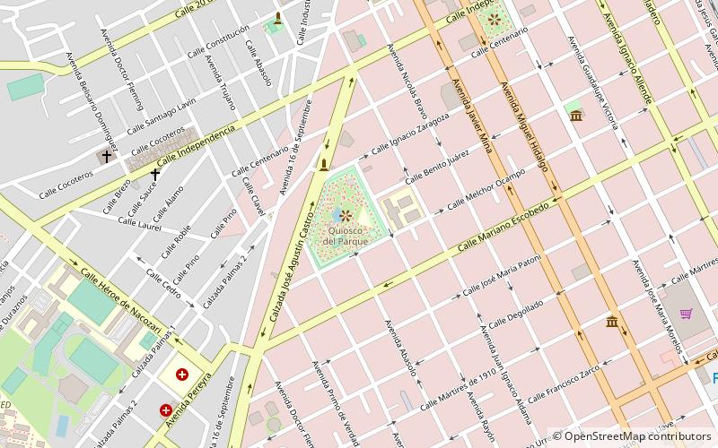
El Acertijo (address: Calle Juan Navarrete) is a place located in Torreón (Coahuila state) and belongs to the category of museum.
It is situated at an altitude of 3727 feet, and its geographical coordinates are 25°34'26"N latitude and 103°29'38"W longitude.
Planning a visit to this place, one can easily and conveniently get there by public transportation. El Acertijo is a short distance from the following public transport stations: Central de autobuses de Gomez Palacio (bus, 33 min walk).
Among other places and attractions worth visiting in the area are: Parque Morelos (park, 23 min walk), Casa de la Cultura Gómez Palacio (museum, 42 min walk), Parque Fundadores (park, 66 min walk).
Coordinates: 25°34'26"N, 103°29'38"W
Address
Calle Juan NavarreteTorreón
ContactAdd
Social media
Add
Getting there by public transportation
Public transportation stops near this location
- Bus
 Bus
Bus
- Calculate routeCentral de autobuses de Gomez Palacio 33 min walk
Day trips

Frequently Asked Questions (FAQ)
How to get to El Acertijo by public transport?
The nearest stations to El Acertijo:
Bus
Bus
- Central de autobuses de Gomez Palacio (33 min walk)