Cortazar
Map

Map

Facts and practical information
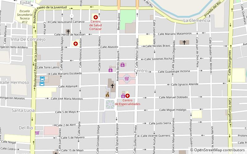
Cortazar is a city and its surrounding municipality located in the southeastern quadrant of the state of Guanajuato in Mexico. It is bordered to the north by Villagrán, to the north and east by Celaya, to the southeast by Tarimoro, to the south by Salvatierra, and to the west by Jaral del Progreso and Salamanca. The city had a 2005 census population of 57,748 inhabitants, while the municipality had a population of 83,175. The municipality has an area of 331.8 km² and includes many smaller outlying communities, the largest of which are Tierra Fría to the west and La Cañada de Caracheo to the south. ()
Location
Guanajuato
ContactAdd
Social media
Add
