Mayan Corridor mangroves
Map

Map

Facts and practical information
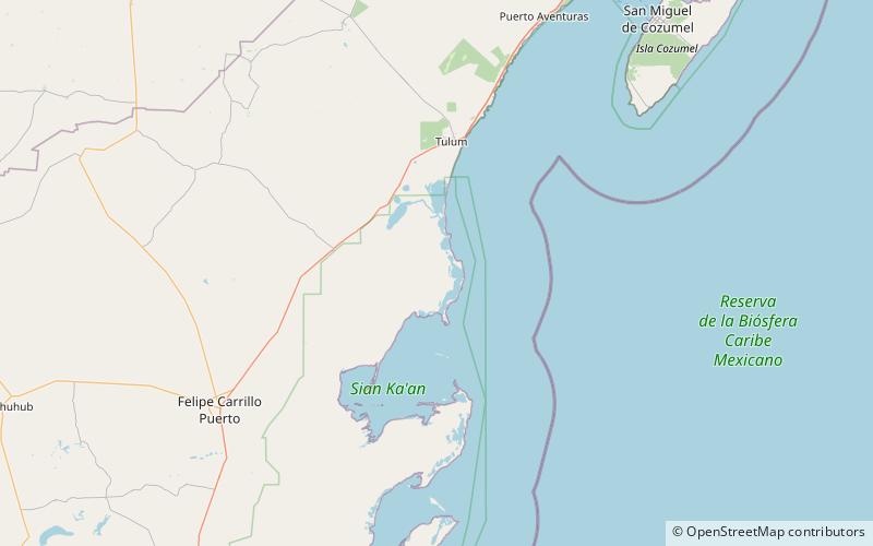
The Mayan Corridor mangroves ecoregion covers the mangrove habitats along the Caribbean Sea coast of the state of Quintana Roo in southern Mexico. The region is named for the Maya Civilization archeological sites along the coast. Biodiversity in the area high due to the interactions of different environments - coastal lagoons, river estuaries, coral reefs, and barrier beaches. The ecoregion supports Mexico's largest population of crocodiles. ()
Area: 1600 mi²Coordinates: 19°54'0"N, 87°30'0"W
Location
Quintana Roo
ContactAdd
Social media
Add
Day trips
Mayan Corridor mangroves – popular in the area (distance from the attraction)
Nearby attractions include: Punta Allen.

