San Andrés Cholula, Puebla
Facts and practical information
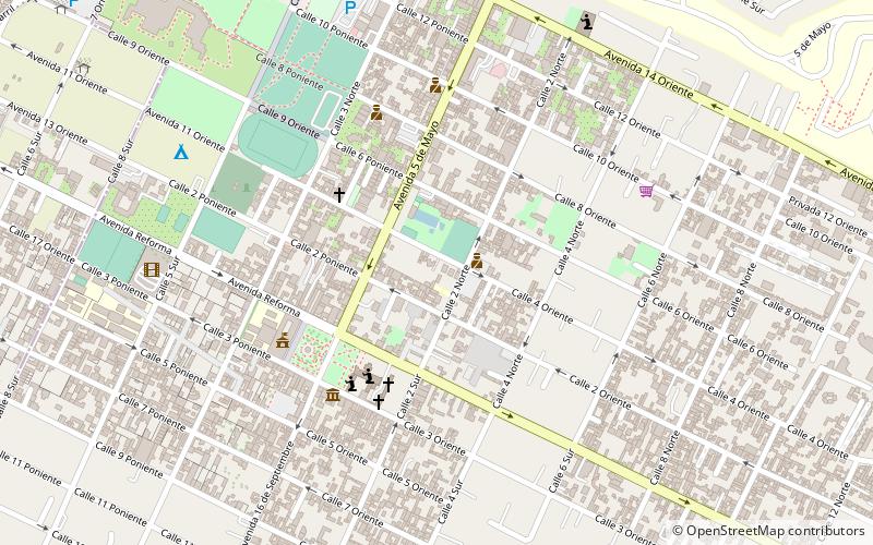
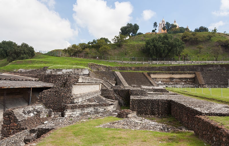
San Andrés Cholula is the municipal seat of San Andrés Cholula Municipality located in the Metropolitan area of Puebla, in the center west of the state of Puebla in the central highlands of Mexico, 122 km east of Mexico City and eight kilometres west of the city of Puebla. It is one of the two municipalities, along with San Pedro Cholula, that make up the modern city of Cholula or Cholula de Rivadavia. The city of Cholula has been divided into two parts since the pre Hispanic period, when the Toltecs-Chichimecas revolted, took over and pushed the formerly dominant Olmec –Xicallancas to the eastern side of the city. This side of the city is defined as the Great Pyramid of Cholula and east. The city has remained more or less divided since under different political organizations. However, the two halves share a common religious and social tradition which binds the city as a whole. San Andrés is known for being historically indigenous and still contains a larger indigenous population. It is also home to a number of colonial era churches decorated in Talavera tile and in a style called Indigenous or Folk Baroque. The best known example of this is the church in the Santa María Tonatzintla community. ()
Puebla
- Bus
- Train
 Bus
Bus
- Calculate routeCholula 17 min walk
- Calculate routeTerminal de Combis 30 min walk
- Calculate routecombis suburbanos 31 min walk
- Calculate routeOzolco 31 min walk
- Calculate routeTerminal super rapidos 36 min walk


Frequently Asked Questions (FAQ)
Which popular attractions are close to San Andrés Cholula?
How to get to San Andrés Cholula by public transport?
Train
- Cholula (17 min walk)
Bus
- Terminal de Combis (30 min walk)
- combis suburbanos (31 min walk)