San Pedro de los Pinos, Mexico City
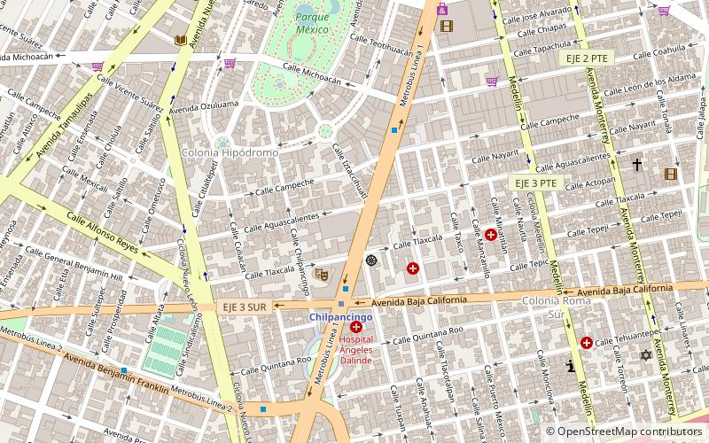
Map
Gallery
Facts and practical information
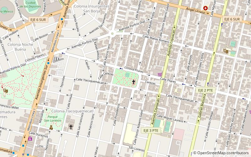
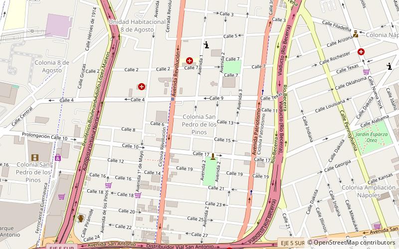
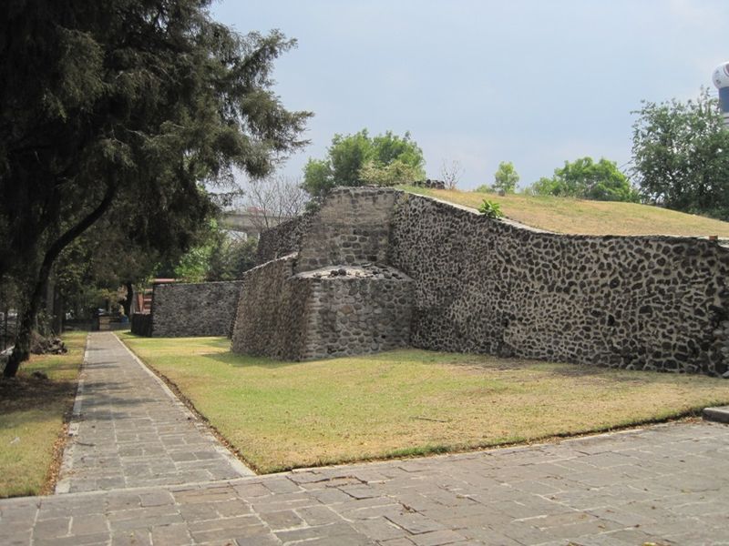
San Pedro de los Pinos is a neighborhood located in center-west of Mexico City. Before being urbanized during the first half of the 20th century, the colonia was part of a vast farming area belonging to several ranches and haciendas. ()
Address
Benito Juárez (San Pedro de los Pinos)Mexico City
ContactAdd
Social media
Add
Day trips
San Pedro de los Pinos – popular in the area (distance from the attraction)
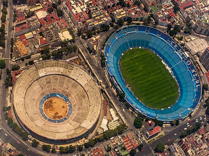
Nearby attractions include: Estadio Ciudad de los Deportes, Plaza de Toros México, World Trade Center, World Trade Center Islamabad.
Frequently Asked Questions (FAQ)
Which popular attractions are close to San Pedro de los Pinos?
Nearby attractions include Mixcoac, Mexico City (11 min walk), World Trade Center, Mexico City (19 min walk), World Trade Center Mexico City, Mexico City (19 min walk), Tacubaya, Mexico City (20 min walk).
How to get to San Pedro de los Pinos by public transport?
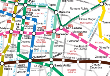
The nearest stations to San Pedro de los Pinos:
Metro
Bus
Train
Metro
- San Pedro de los Pinos • Lines: 7 (3 min walk)
- San Antonio • Lines: 7 (11 min walk)
Bus
- Colonia del Valle • Lines: Mb L1 (18 min walk)
- Nápoles • Lines: Mb L1 (19 min walk)
Train
- Mixcoac (25 min walk)
- Observatorio (30 min walk)

 Metro
Metro