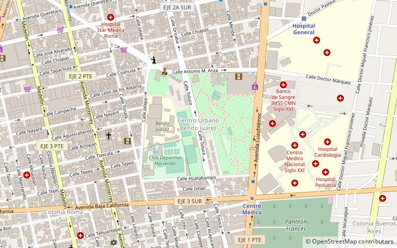
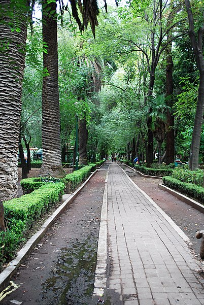
Centro Urbano Benito Juárez, Mexico City

Facts and practical information
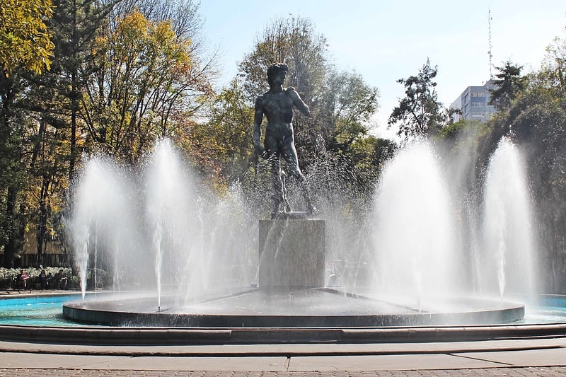
The Centro Urbano Benito Juárez, more commonly called the Multifamiliar Juárez, was a large apartment complex built on the southeast section of Colonia Roma, Mexico City in the late 1940s and early 1950s. It was one of several projects of this type by architect Mario Pani, designed to be semi-autonomous and incorporate as much outdoors space as possible. It also featured one of the largest mural works of the 20th century by artist Carlos Mérida. Most of the complex, and the mural work with it, were destroyed by the 1985 Mexico City earthquake and the demolition of many of the damaged buildings. Only a few of the original buildings still remain. Despite this, the Cuauhtémoc borough in which it is located still lists it as a separate colonia or neighborhood. ()
Cuauhtémoc (Roma)Mexico City
- Metro
- Bus
- Train
 Metro
Metro
- Calculate routeCentro Médico 7 min walk
- Calculate routeHospital General 11 min walk
- Calculate routeChilpancingo 20 min walk
- Calculate routeNiños Héroes 21 min walk
- Calculate routeHospital General 11 min walk
- Calculate routeNiños Héroes 21 min walk
- Calculate routeEtiopía/Plaza de la Transparencia 26 min walk
- Calculate routeInsurgentes 27 min walk
- Calculate routeSonora 16 min walk
- Calculate routeCampeche 17 min walk
- Calculate routeÁlvaro Obregón 18 min walk
- Calculate routeMonterrey_1_2 19 min walk
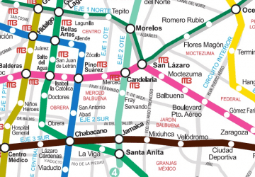 Metro
Metro


Frequently Asked Questions (FAQ)
Which popular attractions are close to Centro Urbano Benito Juárez?
How to get to Centro Urbano Benito Juárez by public transport?
Metro
- Centro Médico • Lines: 3, 9 (7 min walk)
- Hospital General • Lines: 3 (11 min walk)
Train
- Hospital General (11 min walk)
- Niños Héroes (21 min walk)
Bus
- Sonora • Lines: Mb L1 (16 min walk)
- Campeche • Lines: Mb L1 (17 min walk)