Colonia Juárez, Mexico City
Map
Gallery
Facts and practical information
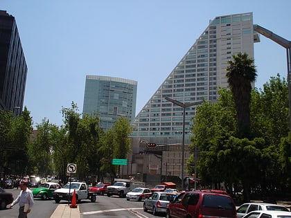
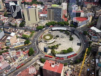
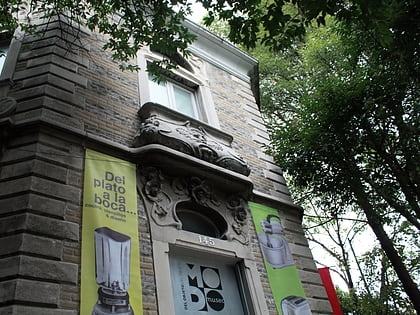
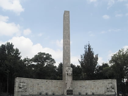
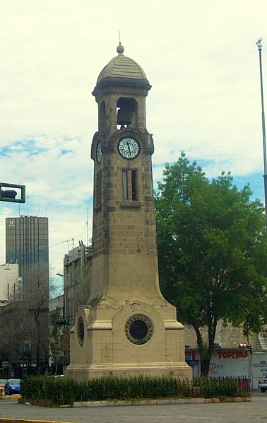
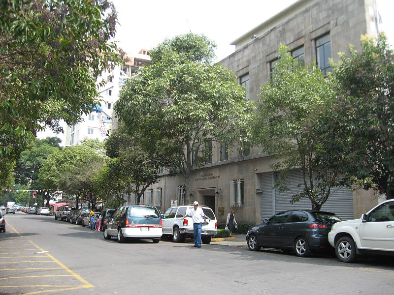
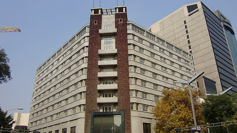
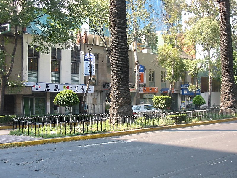
Colonia Juárez is one of the better–known neighborhoods or colonias in the Cuauhtémoc borough of Mexico City. The neighborhood is shaped like a long triangle with the boundaries: Paseo de la Reforma on the north, Avenida Chapultepec on the south, and Eje 1 Poniente on the east. ()
Address
Cuauhtémoc (Juárez)Mexico City
ContactAdd
Social media
Add
Day trips
Colonia Juárez – popular in the area (distance from the attraction)
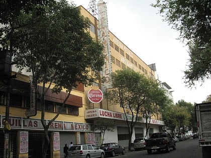
Nearby attractions include: Reforma 222, Monumento a la Independencia, Arena México, Nicho Bears and Bar.
Frequently Asked Questions (FAQ)
Which popular attractions are close to Colonia Juárez?
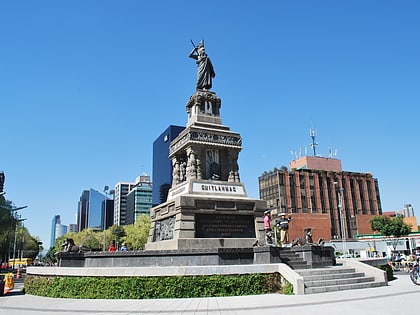
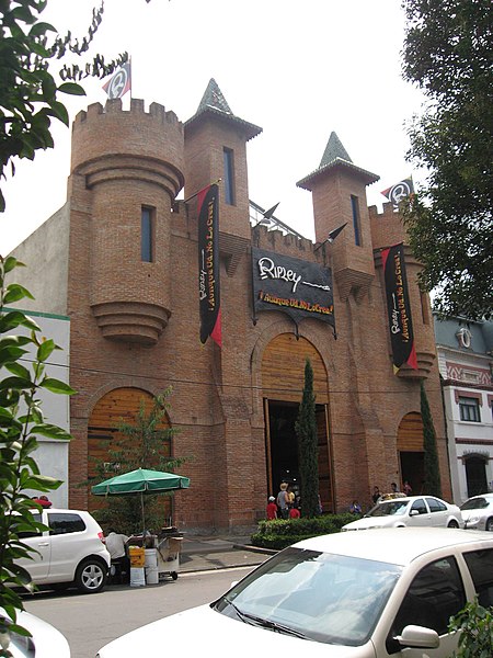
Nearby attractions include Reforma 222, Mexico City (4 min walk), Zona Rosa, Mexico City (7 min walk), Monument to Cuauhtémoc, Mexico City (7 min walk), Ripley's Believe It or Not!, Mexico City (8 min walk).
How to get to Colonia Juárez by public transport?
The nearest stations to Colonia Juárez:
Bus
Metro
Train
Bus
- Hamburgo • Lines: Mb L1, Metrobús Línea 7 Campo Marte - Indios Verdes, Metrobús Línea 7 Indios Verdes - Campo Marte (5 min walk)
- Avenida Chapultepec - Nápoles • Lines: Gps (6 min walk)
Metro
- Insurgentes • Lines: 1 (8 min walk)
- Cuauhtémoc • Lines: 1 (11 min walk)
Train
- Insurgentes (8 min walk)
- Cuauhtémoc (11 min walk)



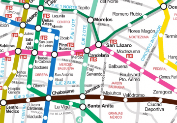 Metro
Metro