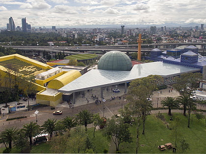
Lomas de Chapultepec, Mexico City
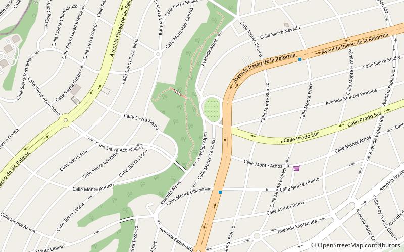
Map
Facts and practical information
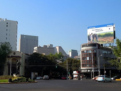
Lomas de Chapultepec is a colonia, or officially recognized neighborhood, located in the Miguel Hidalgo borough of Mexico City. It dates back to the 1920s, when it was founded with the name Chapultepec Heights. Home to some of the biggest mansions in the city and many high-net-worth individuals, it has gained a reputation of exclusivity. Its main entrance is through Paseo de la Reforma. ()
Address
Miguel Hidalgo (Lomas de Chapultepec)Mexico City
ContactAdd
Social media
Add
Day trips
Lomas de Chapultepec – popular in the area (distance from the attraction)
Nearby attractions include: Avenida Presidente Masaryk, Museo Soumaya, La Feria de Chapultepec, Chapultepec.
Frequently Asked Questions (FAQ)
How to get to Lomas de Chapultepec by public transport?
The nearest stations to Lomas de Chapultepec:
Train
Bus
Train
- Estación del tren de Chapultepec (34 min walk)
Bus
- Avenida Constituyentes Miranda • Lines: Gps (37 min walk)
- Constituyentes - Panteón Dolores • Lines: Gps (37 min walk)
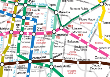 Metro
Metro