Tlalnelhuayocan, Xalapa
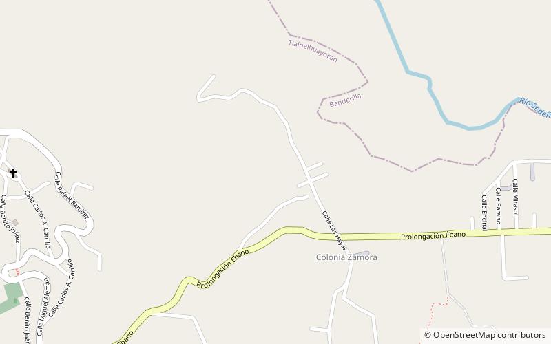
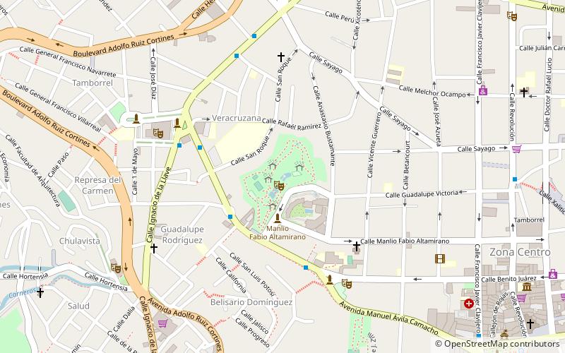
Map
Facts and practical information
Tlalnelhuayocan is one of the 212 municipalities in the Mexican state of Veracruz, located 2 kilometres from state capital Xalapa-Enríquez. It stands on the Mexico City–Veracruz railway and on Federal Highways 180 and 125. Its name was San Andrés Tlalnelhuayocan, who is the first name was used to the Nahuatl and the people of Jilotepec. Tlalnelhuayocan is formed by various localities, being, San Andres, Otilpan, Palenquillo, San Antonio, Xocotla and Xolostla the most known of them. ()
Address
Xalapa
ContactAdd
Social media
Add
Day trips
Tlalnelhuayocan – popular in the area (distance from the attraction)
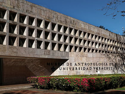
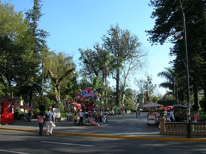
Nearby attractions include: Museo de Antropología de Xalapa, Parque Juárez, Xalapa Cathedral, Parque Los Berros.
