Fort Trašte
Map
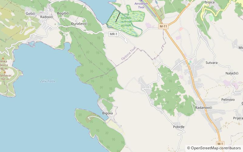
Map

Facts and practical information
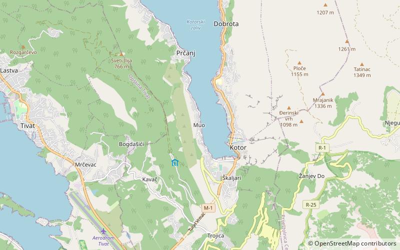
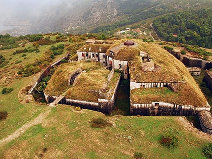
Fort Trašte is a fortification built by the Austro-Hungarian Empire near Tivat in Montenegro. Built on a hill between 1907–09, it overlooks the Bay of Trašte on one side and the plain of Tivatsko polje on the other. The fort was intended to secure the bay against possible landings from the sea. It was bombarded during World War I but sustained little damage. The collapse of the empire in 1918 led to the abandonment of the fort. It is now derelict but is still in fairly good condition externally, with its rotating gun cupolas still in situ. ()
Built: 1907 (119 years ago)Coordinates: 42°22'18"N, 18°42'49"E
Location
Tivat
ContactAdd
Social media
Add
Day trips
Fort Trašte – popular in the area (distance from the attraction)
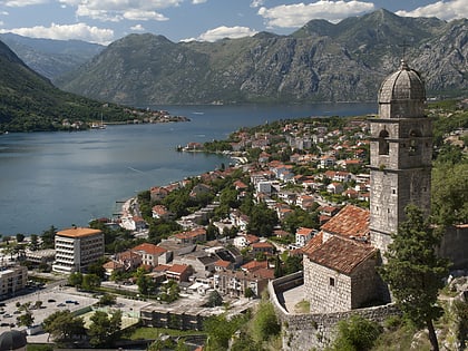
Nearby attractions include: Kotor Cathedral, Trg od Oružja, Fortifications of Kotor, Škaljari.

