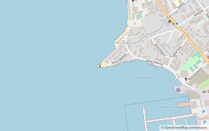
Ponta Seljanovo, Tivat

Gallery (1)
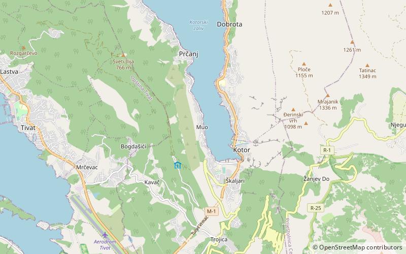
Map
Map
Facts and practical information
Ponta Seljanovo (address: Donje Seljanovo bb) is a place located in Tivat (Tivat municipality) and belongs to the category of beach, beach bar.
It is situated at an altitude of 0 feet, and its geographical coordinates are 42°26'21"N latitude and 18°41'6"E longitude.
Among other places and attractions worth visiting in the area are: Donja Lastva (town, 5 min walk), Stadion u Parku (sport, 18 min walk), Jošice (village, 41 min walk).
Coordinates: 42°26'21"N, 18°41'6"E
Address
Donje Seljanovo bbTivat 85320
ContactAdd
Social media
Add
Day trips